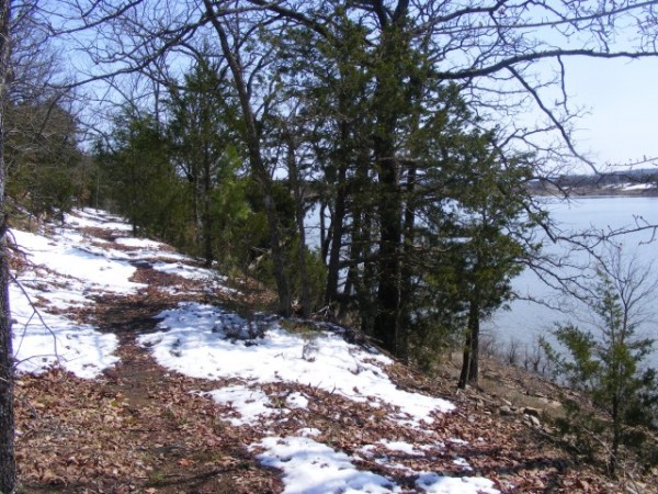
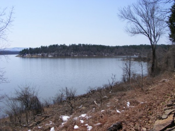
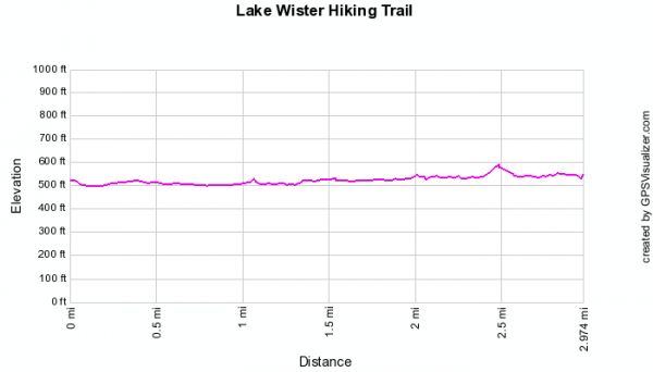
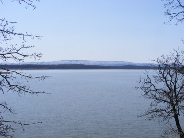
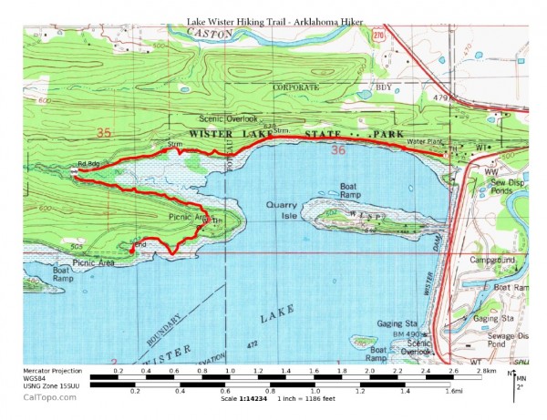
I had the day off Monday so I went hiking at Lake Wister State Park. The 3-mile Lake Wister Hiking Trail in many respects is a great hike. (Six miles to the end and back.) It is at a beautiful location along Lake Wister. Elevation-wise, it is not a difficult hike either.
Unfortunately, the trail currently seems somewhat neglected. It is difficult to traverse a number of the areas because of overgrown brush. Also quite a few stretches of the trail are very low-lying and become impassible when there has been a lot of rain (or snow-melt as on Monday). And there is quite a bit of trash along the trail.
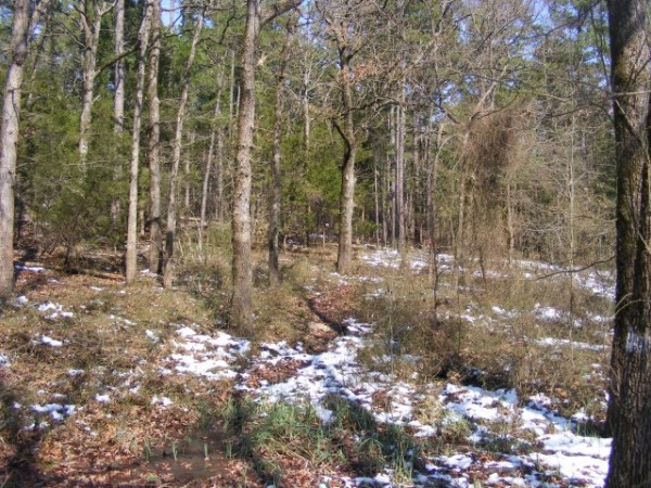
Fortunately, there are only a few of these difficult-to-get-through spots. By and large, it is a very enjoyable trail to hike.
Click here for GPX file download.
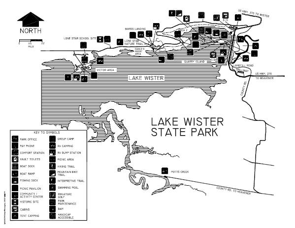
You can download the official trail map pdf here.
Note: In most Oklahoma state parks, you will probably need to pay a day use fee of $8 to $10.
Last revised: 7-13-2020.
