Earthquake Ridge Trail Pics (Ouachita Forest)

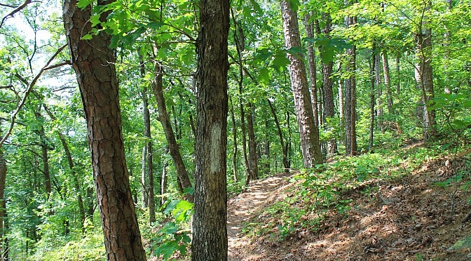
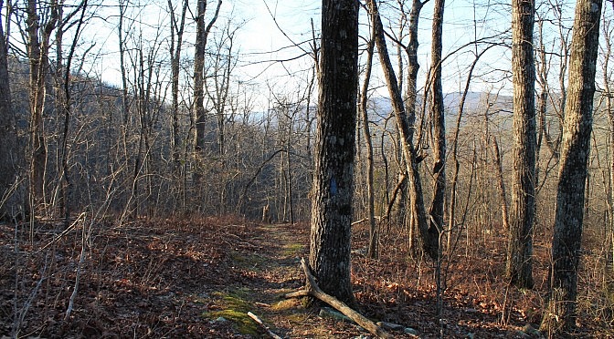
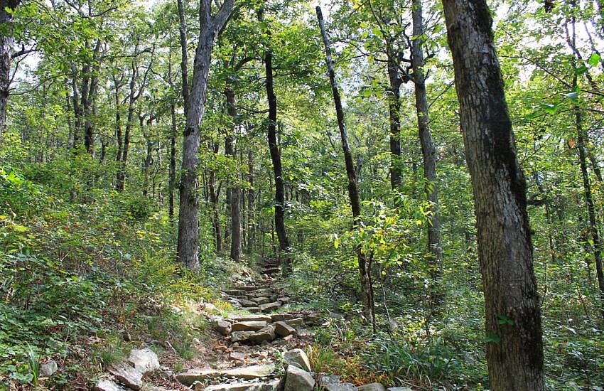
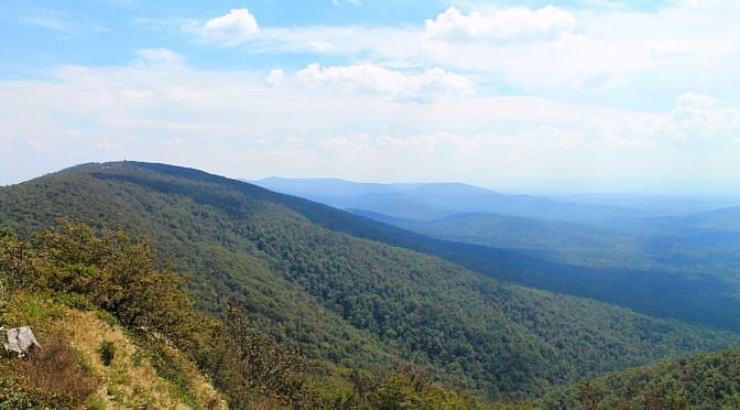
The Earthquake Ridge Trail, including the adjacent Southern Loop, is an enjoyable 3-mile hike at the east end of the Talimena Scenic Drive (Highway 88) near Mena, Arkansas. This Ouachita National Forest hike is easy to locate, starting at the Visitor Information Center. My profile of this trail with pics from my June 6, 2015 hike is in […]

Earthquake Ridge Trail + Southern Loop (Ouachita Forest) – 3 mi

The Earthquake Ridge Trail is a short moderately challenging loop trail in the Ouachita National Forest, just north of Mena, Arkansas. It has one main loop and several additional loops, all at the southeast end of Rich Mountain. On this hike, we are doing the main loop plus the Southern Loop. By my measurements, the […]

Ouachita Trail: 54.1-56.7 – Talimena Scenic Drive to Hwy 270/Black Fork Mtn. TH (Section 3)

This 2.6-mile Ouachita Trail Section 3 segment is a pretty vigorous hike if you do it as an out-and-back as I did starting (east to west) at the Highway 270 (Black Fork Mountain Wilderness) Trailhead (Polk County, Arkansas). There is an elevation increase of about 1,000 feet, almost all of it in the first 1.5 […]

Queen Wilhelmina: Reservoir Trail – 1 mi (o&b)

The Reservoir Trail at Queen Wilhelmina State Park is a short but vigorous hillside walk that starts right behind the lodge. It makes a .4-mile (each way) downhill zigzag on the south side of Rich Mountain leading to a historic reservoir.

Queen Wilhelmina: Lovers Leap Trail – 1 mi

Queen Wilhelmina is a wonderful state park that sits on top of Rich Mountain, Arkansas’s second highest mountain in the Ouachita National Forest. The Ouachita Trail, a 223-mile hiking trail that runs from LeFlore County, Oklahoma, to Pulaski County, Arkansas, runs through the middle of the park. There also are a couple of short trails in the […]

Caney Creek Trail – West (Ouachita Forest) – 11 mi (o&b)

The western part of the Caney Creek Trail is a wonderfully scenic hike through the Ouachita National Forests’s Caney Creek Wilderness. It is a hike of 11.4 miles (5.7 miles each way) and has 22 wet crossings (11 miles each way), but it is well worth the effort. The Caney Creek Trail runs 9 miles from […]