Memorial Day weekend we headed out for a backpacking trip on the Shores Lake/White Rock Loop with the best intentions for a two-night trip to one of the most scenic hikes in Arkansas. Unfortunately, this time our hike had some unplanned difficulties that caused us to turn back after our first night.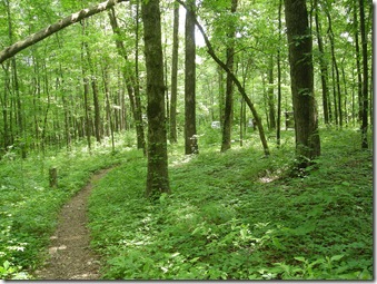
So our first summit attempt has failed, but we will be back!
Shores Lake is in the Ozark National Forest, northeast of Fort Smith. A friend had mentioned that we should check out the Lake Fort Smith State Park visitor center if we were going to be in the area, and although we had a late start on Saturday, I had convinced hubby this was a good idea.
Unplanned Side Trip
In hindsight, this is noted as mistake #1. The new visitor center opened in 2008, but our GPS hasn’t been updated since 2007. Despite my assurances that we were not lost and we were almost there, the constant “make a U Turn” flashing on the GPS was too much, and hubby turned around. (I know we were almost there, but wisely, I did not argue the point. There are always more weekends, and this is where the Ozark Highlands Trail starts, so I’m sure we’ll be back.)
Finding the Trailhead
We headed back down 540 to 40 East and took exit #24 to get to Shores Lake. It’s about 13 miles north from 540, then down County Road 75 to get to the campgrounds. The trailhead is tucked in on the back side of the campground.
The place was packed because of the long weekend, but the trail did not seem to be busy. We unloaded the dogs and leashed them up with their brand new retractable leashes and were headed up through the lush forest.
Not long after the trailhead, the trail forks into the West Side Loop and the East Side Loop. We headed to the left, up the West Side loop through the woods. It only took a few minutes for the campground festivities to fade into the distance, and we were soon trekking through on our own.
There are lots of rock gardens along the way, and the vegetation was thick. It was a really hot day. By this time it was about 3:30 in the afternoon, unseasonably warm, and really humid. At least the bugs weren’t too bad.
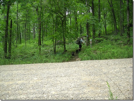
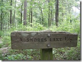 About a half-mile in, the trail crosses a gravel road (the road you would end up on if you kept going past the campground — an important item to note for later in the trip).
This first little section was pretty easy and flat. We covered it really quickly. The dogs were doing really well with their new leashes, but they have to be at the front of the pack. I stopped to snap a picture of the great hikers making their way to the other side.
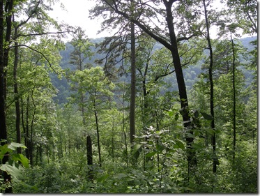
The trail headed across some benches and was relatively flat. There were some good views across the valley that are undoubtedly better during leaf off.
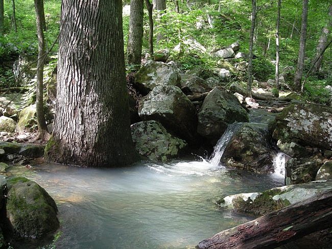
Because the day was so much hotter than we were used to, and we were carrying our backpacks, we stopped fairly frequently for breaks. At mile 1, there was a creek which I think was Hurricane Creek. We stopped for a break and to cool off for a bit.
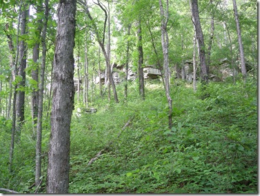
The trail climbed up from this drainage for about 40 yards, then leveled off for quite a while. There were impressive bluffs along the way and a nicely forested area that provided lots of shade.
The trail dipped down toward White Rock Creek, and we took the dogs off of the trail for a drink before the trail swung back up the hill and started a fairly steep ascent.
The trail leveled out again, and I could smell honeysuckle. As we walked, the trail went through a really neat area that was completely overgrown with it creeping up and down the hill on both sides.
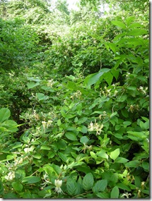
I was pretty happy to be on flat trail in the shade with something good to smell, but it didn’t last for long. After following close to White Rock Creek and traveling through another smaller honeysuckle thicket, the trail began to climb up.
We met a gentleman who had been to the Falls who warned us to be careful on the steep, washed-out trail ahead. He also mentioned the creek was pretty high. By this point, I was already rethinking our plan since we hadn’t yet managed 2 miles, and I felt like I had walked 200.
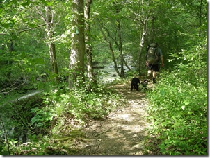
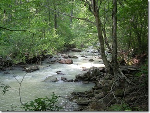
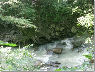
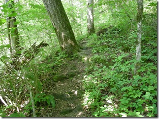
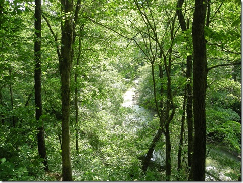
We managed to navigate the steep parts of the trail. It was pretty narrow, but it was still mostly intact. It was a pretty good climb though. There were some nice views into the creek below which was running really fast.
Mile 2 (or 200)
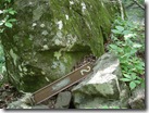
We paused for a second to catch our breath, and I noticed the two-mile marker lying against a boulder. I remember thinking that surely we had made it farther than 2 miles and the marker had been washed away in a flood of some sort.
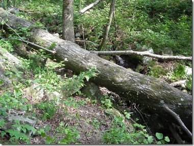 We came to another stream crossing where a large tree had fallen across the path just across the stream. It was a good-sized tree, and there was certainly no hope of the dogs jumping over it.
After some hunting around, we negotiated a small spot where Buster could just manage to wriggle underneath it. Katie wasn’t so sure about the whole thing and was tempted to turn around and go back to the car, but Buster came back and showed her the spot and encouraged her on through.
Stuart and the dogs started up the trail assuming I would be able to navigate the tree. But it came up almost to my chest, so I had to call for support to manage to clamber over the trunk. It was not one of my most graceful moments, but I managed to overcome the obstacle. We were on our way.
The Falls
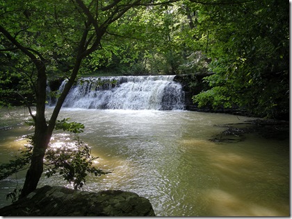
We were planning to camp by the falls, which were 2.8 miles in and could not possibly be much farther. Soon we heard the sound of the water and were faced with a fairly challenging water crossing. I dumped the backpack and scampered toward the falls to get some pictures before we tried to figure out how to get us and the dogs to the other side.
Crossing the River
We picked a spot close to the falls to cross which wasn’t too deep. It came up to my thighs, so there was no question about the dogs being able to cross. Stuart had negotiated his way farther down river, so I switched to the water socks and slogged across the creek with my pack.
When I got to the other side, I dropped off the pack and headed back across to begin the dog ferrying.
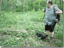 After a lot of cajoling, promises of cookies, and a pretty good chase, I managed to catch the dogs and get them across the river. Neither was very happy about it, and we were all pretty wet and muddy. Fortunately, there were campsites just up the falls where we could set up for the night. It was pretty overgrown, but it looked like heaven to me.
Ill-Fated Water Mission
Having proven my worth as a water gatherer on our hike from Boxely to Ponca, I volunteered to go back to the creek and filter water for the campsite. I kind of wanted to jump in that pool underneath the falls and cool off anyway.
The creek was colder than I thought it would be. I decided to forgo getting completely wet and headed down to try to find a nice pool to filter water from. I filled up both 1-liter Nalgene bottles and the 2 liter water bag and was fiddling with the water filter putting it back in the bag.
The noise of the falls drowned out anything else, and I was thinking that maybe I was hasty in my desire to turn back. I packed up the filter and picked up the two water bottles, then started hunting around for the 2-liter water bag. I looked where I thought I had set it. I turned around in a complete circle, and looked under the rock I was sitting on. No water bottle. This was not good.
Not wanting to lose my prestige as a reliable water retriever, I began to hastily traverse the creek looking for the water bottle. (Mark this as mistake #2). The bottle was gone, and the creek was slippery. I managed to fall, hitting my elbow, and twisting my knee, but fortunately, not hitting my head.
Admitting defeat, I started the trek back to the camp with “defeat” written on my face. I met Stuart and the dogs on the trail who were worried because I had been gone for so long. (This was kind of nice. At least I wouldn’t have lain alone for very long if I hadn’t been able to move.)
After making sure I would live, Stuart handed me the dog leashes and went to look for the lost water bottle. (Good luck with that one.)
Get Me Out of Here
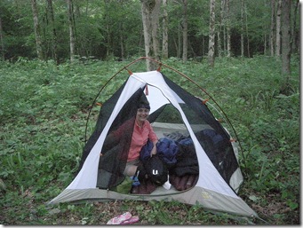
After a very long and tick-infested night, I was ready to go. My knee was really hurting, and I could barely walk. We made the decision to turn back and go to the car.
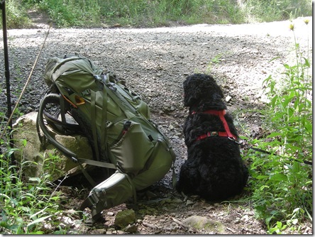
It was a slow hike back for me. Remembering the road, I requested Stuart go get the car and come pick me up a half-mile before the end of the trail. Buster and Katie waited with me along with a butterfly that found a nice resting place on Stuart’s pack.
It only took him about 20 minutes to make the quick trip to the car which was just enough time for a group of hikers with their dog to walk by and send Buster into an over-protective frenzy (and he was being such a good dog until then!).
Lessons Learned
I was pretty glad to see the car and to have air conditioning again. On our next drive, we planned out our next summit attempt and vowed to return to conquer White Rock Mountain soon. We also reviewed what we had learned:
1 – Two people should go get water so one can hold onto the water bag
2 – Don’t treat the dogs with Frontline right before you spend the night in a tent in the woods with them.
[This post was originally published on June 5, 2011 on “A Hiking We Will Go.“]
Last revised (formatting): 5-24-2021.

