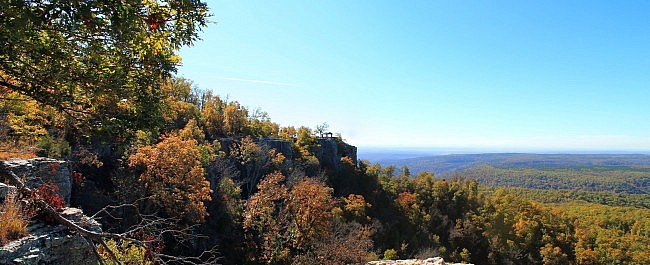
The Rim Trail on White Rock Mountain in the Ozark National Forest about 20 miles north of Mulberry is an awesome trail, and it is not difficult. It is a 1.9-mile loop with less than 100 feet net elevation change.
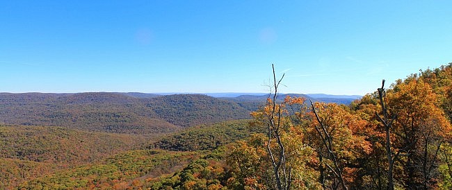
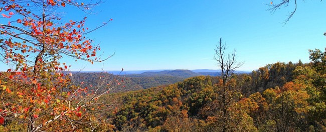
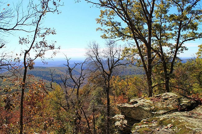
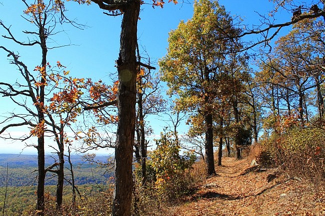
The Rim Trail is over 2200 feet above sea level, and almost the entire trail has amazing vista views of the surrounding Ozark mountains.
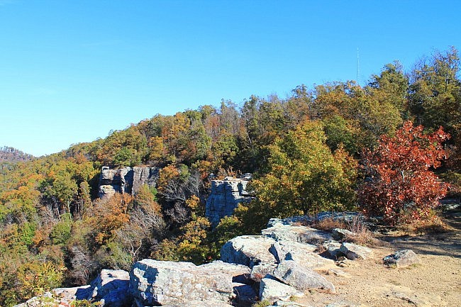
Getting to White Rock Mountain
To get to White Rock Mountain from the south, take Exit 24 from I-40. At Exit 24, get on Arkansas Highway 215 heading north.
It is about 22 miles from Exit 24 to the White Rock Mountain Recreation Area. Once you are in the national forest, just follow the signs. You will be passing Shores Lake on the right on your way to the mountain.
Be prepared for gravel roads on the way there.
For specific directions from different areas, I would suggest giving them a call at (479) 369-4128.
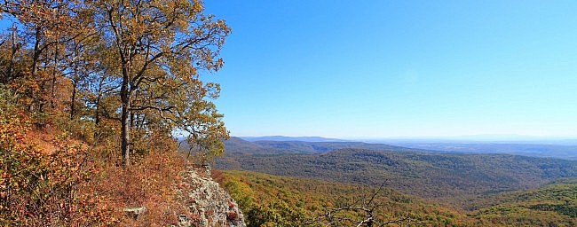
The Rim Trail
I recommend starting the trail at Sunset Shelter where the picnic area is. It is at the southwest corner of the mountaintop. To get to it, just take a right at the fork after passing the campground and caretaker’s residence/store. There is parking and a vault toilet there.
There are great views at Sunset Shelter from almost every angle.

From here, you can go left or right to start the Rim Trail. I usually go right, heading clockwise.
The 1.9-mile trail follows the roughly triangular shape of the top of the mountain. The west side is about .6 miles, the east (or northeast) side about .8, and the south side is about a half-mile.
You will first be walking up the west side, then crossing the road over to the east side. When you get to the southeast corner of the mountain, you will see a spur that leads to the Ozark Highlands Trail. (Stay on the Rim Trail though unless you are wanting a hike on the OHT.)
You will finish the trail along the mountain’s south side ending up back at Sunset Shelter.
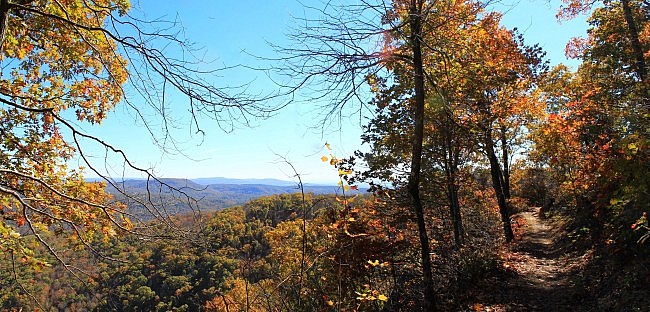
Safety note: Even though this is a beautiful trail, the safety issue cannot be overemphasized. There are many parts of the trail with dangerous bluffs. Be very careful. There are no guardrails. This trail is not appropriate for young children.
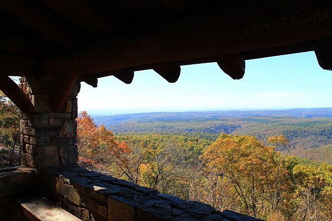
Be sure to check out the views from the three other shelters along the trail (west, north, and south).
Although the views are great from almost the entire trail, the vistas where you can see the furthest are on the west and south sides.
Final Notes
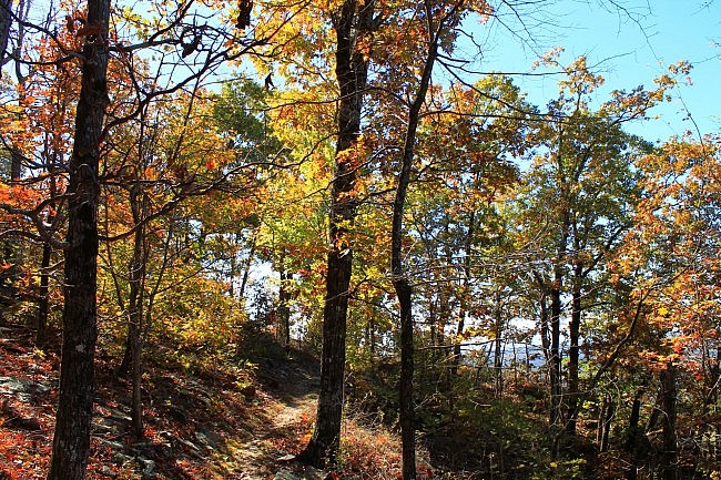
There are no blazes, but the trail is very well-traveled and easy to follow.
A number of structures on White Rock Mountain were originally built in the 1930’s by the Civilian Conservation Corps (CCC). Much of the restoration work done on the structures (and maintenance work on the trail) has been done by Friends of White Rock.
I had cell coverage (AT&T) part of the time on the trail.
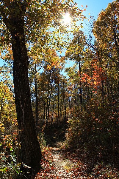
These photos are all from my November 1, 2014 hike. It was a beautiful morning, and there was some nice fall foliage.
Map
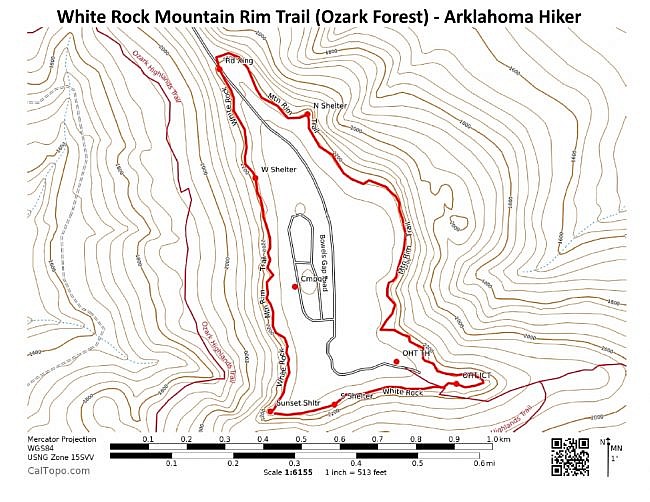
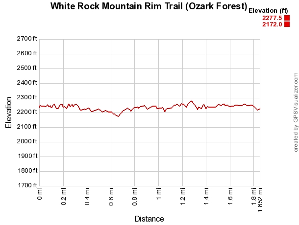
Photo Gallery
Click below for full-screen photo gallery of these and more pics from my November 2014 hike.
White Rock Rim Trail (Ozark Forest)
Location Boston Mountain District - Ozark National Forest, Franklin County, Arkansas Length/Type 1.9 mile loop Difficulty Mildly challenging (2 of 5) Other Permitted Usage None Gpx file by Mike Gpx file link Date Hiked November 1, 2014 (and earlier) Directions Google Maps Directions to White Rock Mountain Recreation Area Official Info (479) 369-4128 White Rock Recreation Management Website Official Recreation Area Flyer (pdf)
[Last revised: 4-23-2022.]


