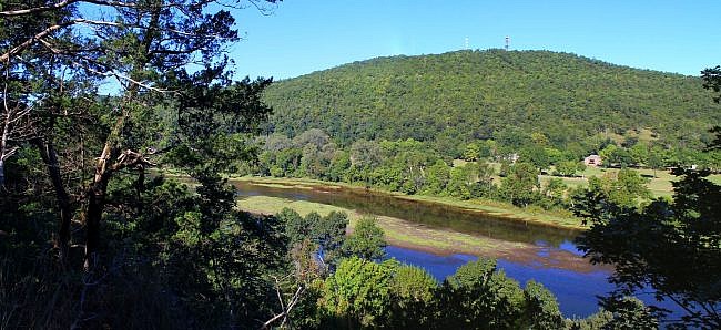
Bull Shoals-White River State Park is a beautiful park in north central Arkansas on the border of Baxter and Marion Counties, near Yellville and Mountain Home.
The park run along both the White River (below Bull Shoals Dam) and Bull Shoals Lake. The visitor center overlooks the dam.
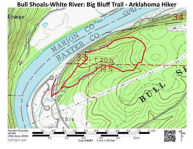
One of the park’s best trails is the Big Bluff Trail, a 1.7-mile hillside semi-loop with a very nice White River overlook.
Getting to Big Bluff Trail
To get to Bull Shoals-White River State Park from Yellville (about 17 miles), take Highway 412 east. After 4 miles, take Highway 178 heading east. 178 will take you all the way to the park (via Flippin and the city of Bull Shoals).
If coming from Mountain Home, take Highway 5 north to the community of Midway. Then get on Highway 178 heading west (by the Dollar General). It’s about 9 miles further.
When you are in the park, head down Powerhouse Road toward the campground.
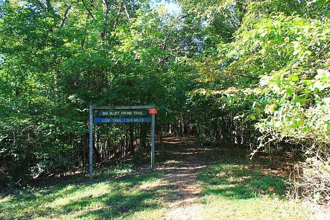
Just a bit past the campground, there is a parking area on your left next to a small field. The trailhead is at the back of the field.
The Trail
The trail is made up of an initial .2-mile spur and then a 1.3-mile loop, making for a total hike of 1.7 miles.
The trail starts on a flat wooded area that runs next to the campground. It then makes a left turn and crosses Powerhouse Road.
Trails on hills are cool. To me, they are visually appealing, and the climbing (or descent) makes for a more interesting walk. Almost all of this hike is sloped.
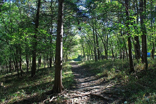
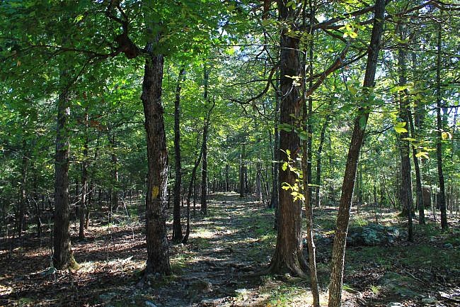
When you get to the loop, take a left to take the loop clockwise.
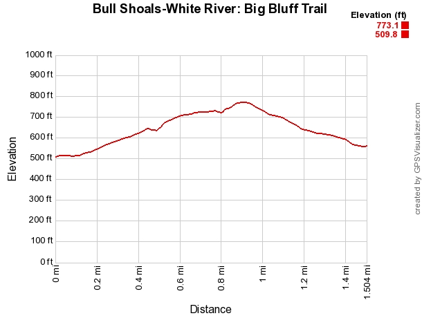
Pretty much the first (north) half of the loop is uphill climbing with the second (south) half heading downhill.
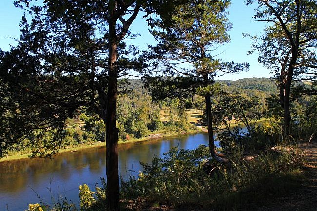
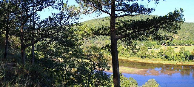
The first part of the loop mostly follows a ridge running parallel to the White River. At around .5, there is a very nice overlook over the White River.
Note of caution: Be very careful in the overlook area. A fall could be fatal or result in serious injury.
The big hill on the opposite side of the river to the left is Bull Shoal Mountain. There is a lookout tower and a radio tower on top.
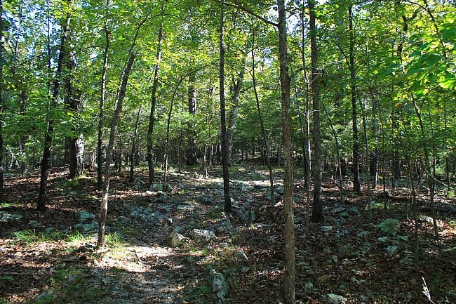
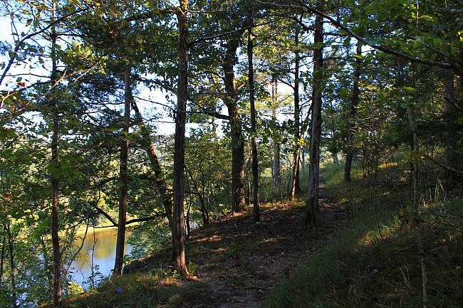
After the lookout, the trail continues climbing uphill. In places, you may be able to see the river some more through the trees.
The trail’s high point is at around .9 miles. Here, it levels out, curves around, and then starts heading back downhill. The downhill part is a little steeper than the uphill climb.
I think rocks add a lot of beauty and character to a trail. This one has a number of somewhat rocky areas, particularly in the hillier parts.
Final Notes
The elevation change on the trail is about 260 feet. I rated the difficulty as mildly challenging (2 of 5).
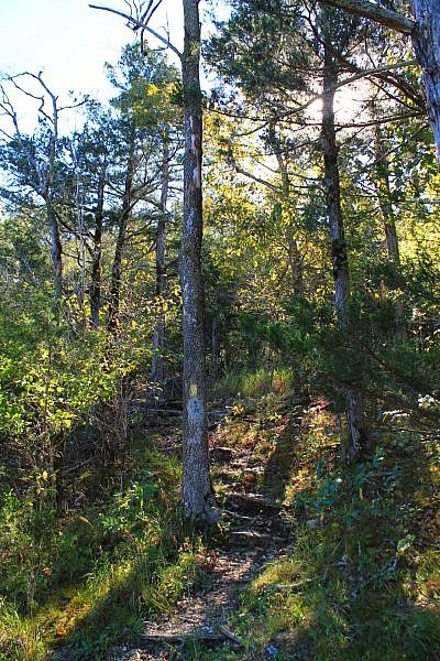
The trail was easy to follow and in good condition when I last hiked it on September 11, 2016. It had yellow blazes.
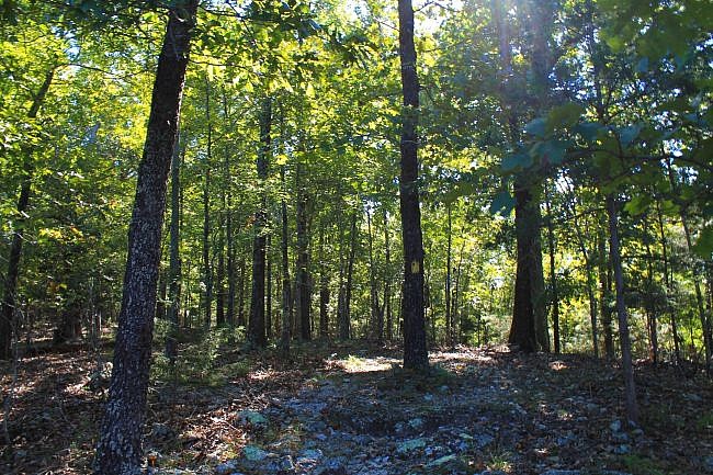
These pics are from that hike.
I had AT&T cell signal the entire time.
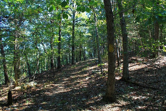
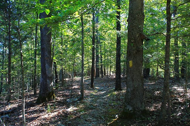
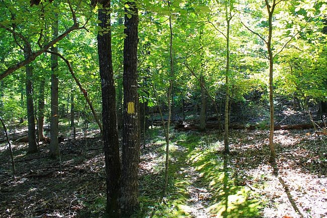
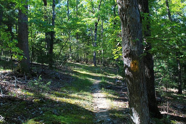
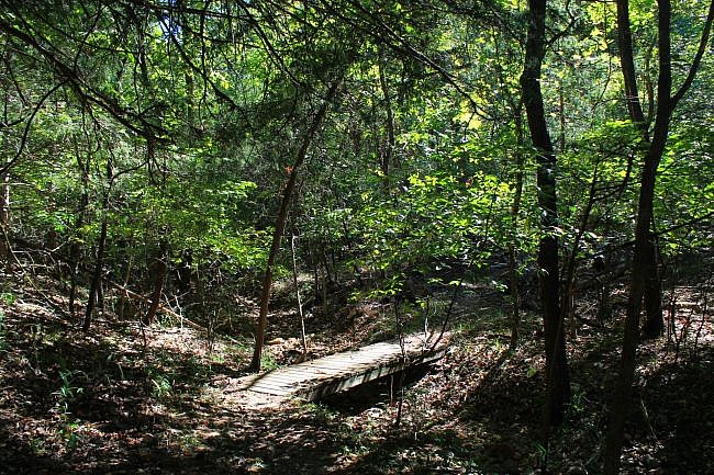
Photo Gallery
Click below for full-screen photo gallery.
Map
Bull Shoals: Big Bluff Trail | |
|---|---|
| Location | Bull Shoals-White River State Park (near Yellville), Baxter County, Arkansas |
| Hike Length/Type | 1.7-mile semi-loop |
| Difficulty | Mildly challenging (2 of 5) |
| Other Permitted Usage | Pets on a leash. |
| Gpx file by Mike | Link |
| Date Hiked | September 11, 2016 |
| Directions | Google Maps Directions to Big Bluff Trailhead |
| Official Info | (870) 445-3629 Website Official Bull Shoals-White River Trail Brochure (pdf) |
Last revised: 6-25-2021.


