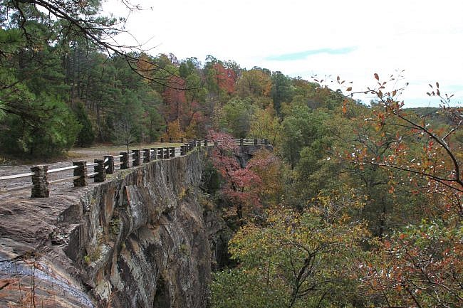
There are two unique loop hikes in the Pedestal Rocks Scenic Area in the Ozark National Forest (north Pope County). One of these is the 1.8-mile Kings Bluff Loop Trail.
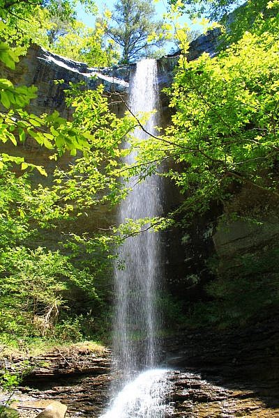
This trail features great rock formations and spectacular overlooks. And during the wet season, you can see the 114-foot King Bluff Falls, one of the tallest in Arkansas.
Getting to Pedestal Rocks Scenic Area
To get to Pedestal Rocks Scenic Area, take Highway 7 to the community of Pelsor (28 miles north of Dover, and 28 miles south of Jasper). Turn east (left if coming from the north) onto Highway 16.
Stay on Highway 16 for 6 miles. Watch for the Pedestal Rocks Scenic Area sign on your right.
There is parking there and a pit toilet.
Kings Bluff Loop Trail
The trail heads out just behind the pit toilet and crosses a small bridge. Very quickly the trail splits. To the right is the Kings Bluff Loop, to the left is the return of the Kings Bluff Loop or the start of the Pedestal Rocks Loop. Take a right for Kings Bluff Loop.
The trail starts off into the wooded area and is on the level for a bit. Then eventually it starts to descend.
The trail winds through several switchbacks until eventually, at about .8 miles, it comes to a large (and I do mean large) rock bluff. This is Kings Bluff.
There is definitely more to see here than just the bluff, but be sure to check out the bluff for a while.
To the right is a creek that when the water is flowing well forms the spectacular Kings Bluff Falls off the bluff.
Note of caution: Be very careful around the numerous bluffs on the trail. A fall could be fatal or result in serious injury.
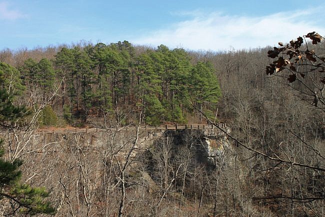
There is a small fence here on the bluff, but it is more of a visual barrier than something that would prevent you from falling.
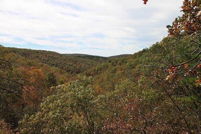
The view from here is pretty amazing — particularly during October when the leaves are turning.
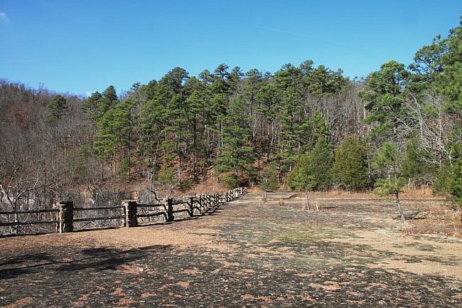
From here, the trail takes continues to the left. It curls around the edge of the bluff and then turns to the right.
As you make the turn, there is an unofficial path that heads to the bottom of the bluff that you can follow if the water is really flowing and you want to see the waterfalls from below. If the water is flowing well, there are 2 smaller waterfalls that can be seen below in addition to Kings Bluff Falls. We didn’t head down there on our most recent trip because there was very little water.
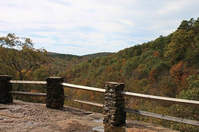
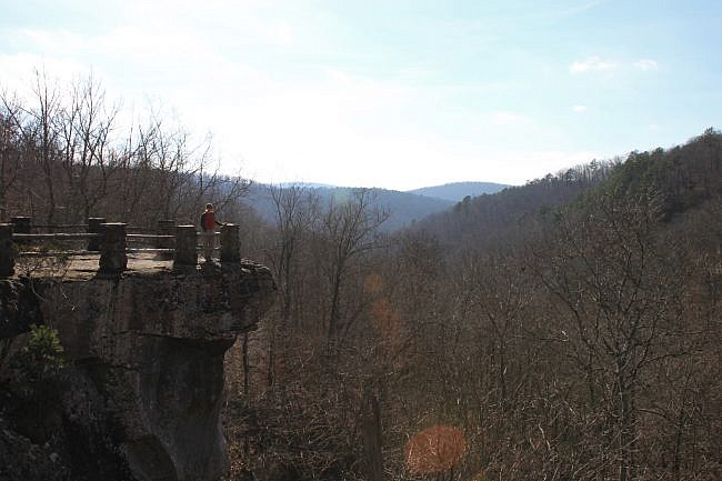
Eventually the trail splits. The branch to the left heads straight back into the woods. The one to the right continues along the bluff line. The right one is a much more scenic path, but be very careful around the bluffs.
Along this stretch, there are a lot of cool rock formations and more great views.
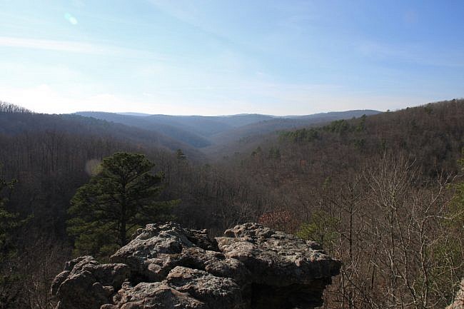
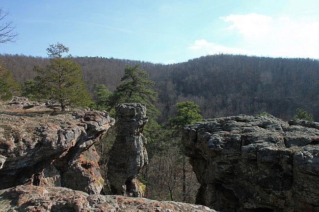
Enjoy. Soak it in.
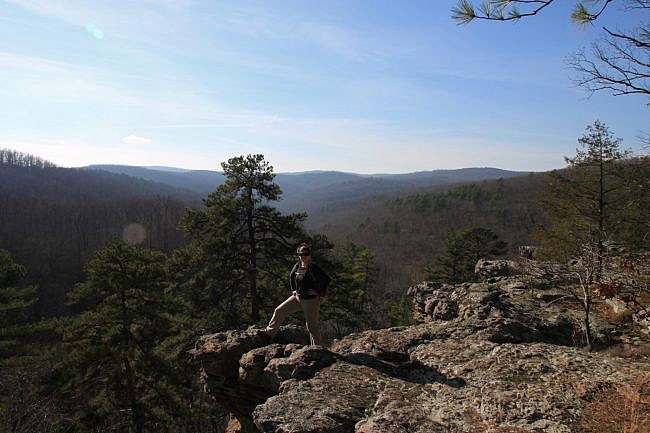
After following the bluff a little further, the trail will start to curl back into the woods and start to gradually head back up the hill.
At around 1.7 miles, the trail reaches a 4-way juncture. Taking a right or going straight will put you on the Pedestal Rocks Loop Trail.
Take a left to complete the Kings Bluff Loop Trail. The parking area is just another .1 miles from here.
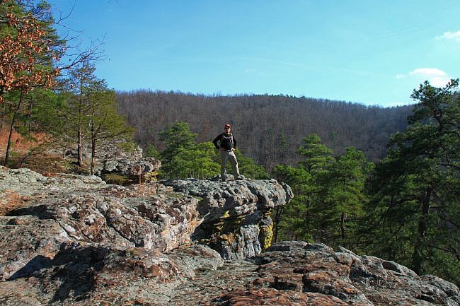
Final Notes
As far as trail difficulty, I rate this one as moderate (3 of 5). The elevation change on the trail is nearly 300 feet.
Tim Ernst profiles this trail in his Arkansas Hiking Trails guidebook.
As for footwear, I recommend trail shoes or hiking boots.
The photos are from my hikes on December 2, 2013 and October 23, 2017, except for the waterfall pics which Mike Newman took on May 13, 2017.
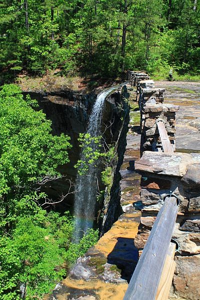
Photo Gallery
Click below for full-screen photo gallery.
Map
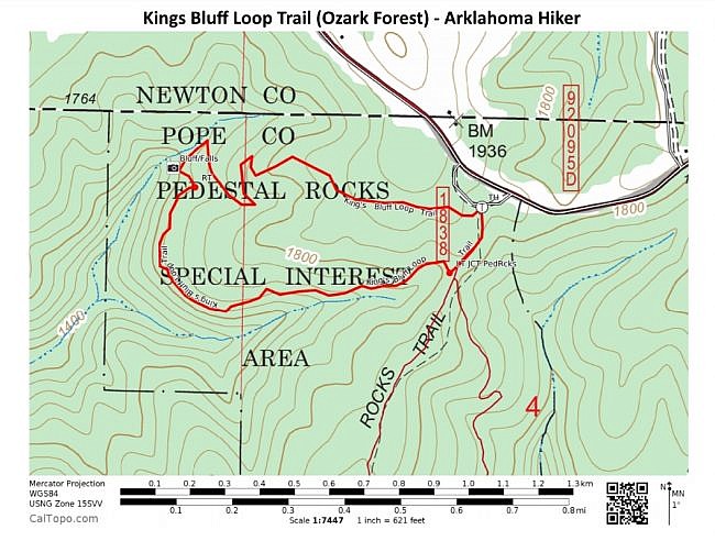
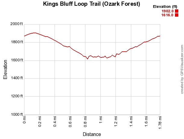
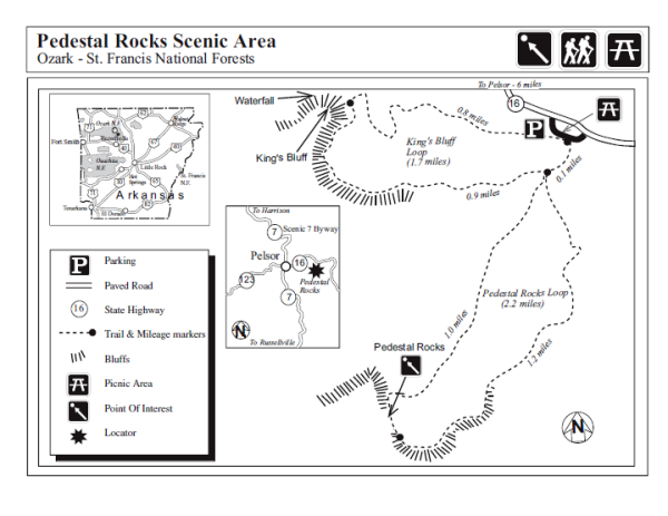
Kings Bluff Loop Trail (Ozark Forest) | |
|---|---|
| Location | Pope County (near Newton County), Ozark National Forest, Arkansas |
| Hike Length/Type | 1.8 miles, loop |
| Difficulty | Moderate (3 of 5) |
| Other Permitted Usage | None |
| Gpx file by Mike | Gpx file link |
| Date Hiked | October 23, 2017 and earlier. |
| Directions | Google Maps Directions to Pedestal Rocks Scenic Area |
| Official Info - Phone/Links | (870) 446-5122 (USFS Big Piney Ranger Dist., Jasper) USFS Website Trail Map Flyer (pdf) |
[A version of this post was first published on December 21, 2013 on the blog “Exploring Northwest Arkansas.”]
Last revised: 9-21-2019.


One reply on “Kings Bluff Loop Trail + Falls (Ozark Forest) – 2 mi”
Some photo captions say “Ouachita”, but good info otherwise.