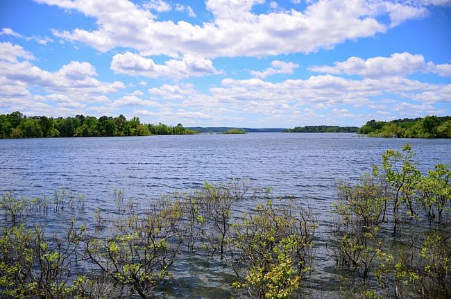
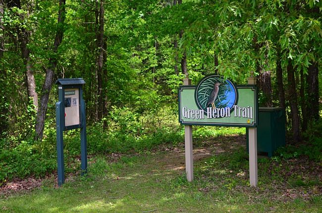
The Green Heron Trail at DeGray Lake Resort State Park (near Caddo Valley and Arkadelphia) is a scenic roughly mile-long lollipop loop.
It begins behind the Visitor Center and is a nice wide, flat path that is great for viewing wildlife.
Getting to Green Heron Trailhead
To get there from Interstate 30, take Exit 78 and head north on Highway 7 for about 6 miles.
Then take a left on Edgewood Drive. After about 300 feet, take another left onto State Park Road and follow the signs to the visitor center.
On the Trail
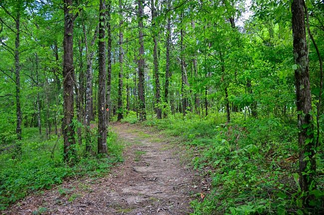
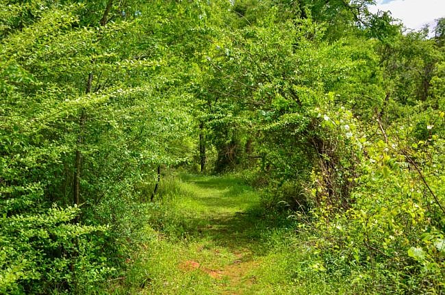
You begin by walking from the mowed yard of the Visitor Center into the thick forests of the Ouachitas. It kind of has the feel of a children’s book where you walk into another world.
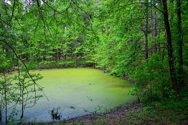
You will immediately pass a pond to your left. When I hiked the trail, it was covered in a green algae film, that was quite pretty.
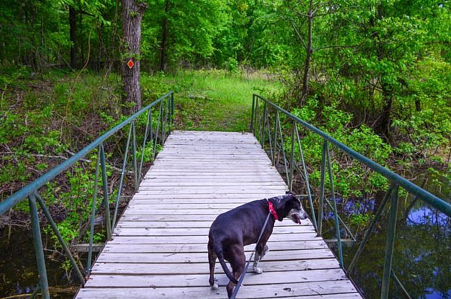
Shortly after you pass the pond, you cross a bridge and get your first glimpse of the lake. This a great place to keep your eyes out for wildlife and waterfowl.
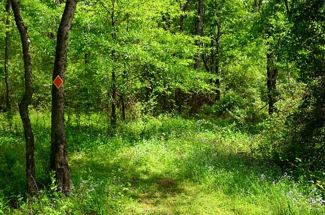
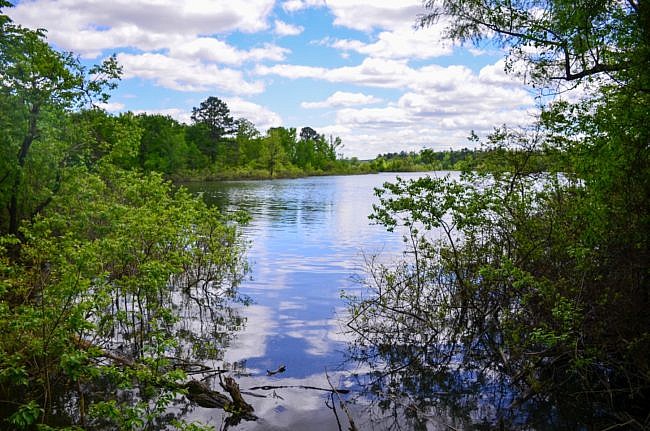
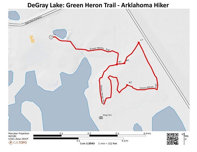
At mile 0.2, you come to an intersection. This is the end of the “stick” of the lollipop loop.
There is a sign that points you toward the right to complete the trail. However, if you choose to go to the left, you will end up back at the same spot.
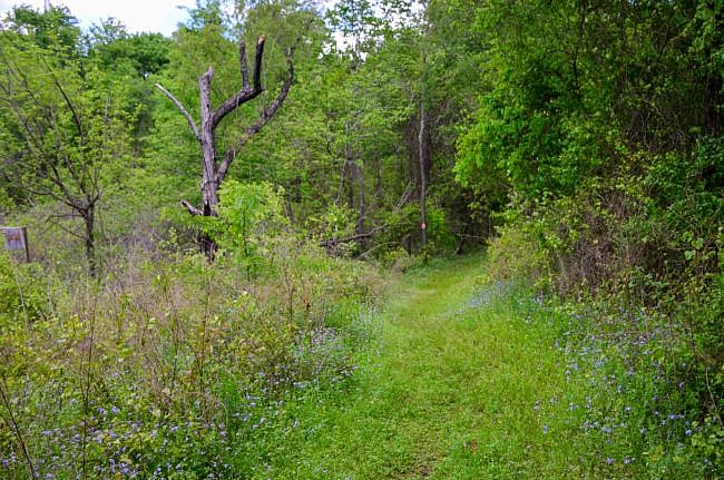
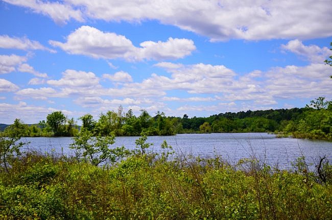
After you make a right at the intersection, the trail heads back toward the lake and follows it pretty closely for a little bit.
At mile 0.3 there’s a spur trail to the right to a watchable wildlife station where you can hike and view the wildlife that calls DeGray Lake home. There are some very nice views of the lake here.
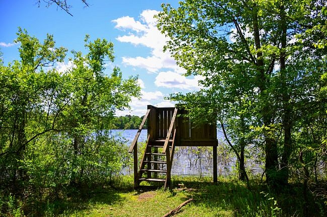
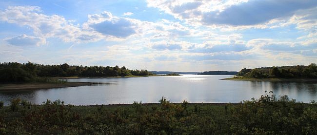
Once you complete the spur trail, make a right to finish out the trail.
Right around the half-mile point, there is another intersection with a trail going toward the left. This is a shortcut trail that will take you back to the trailhead. I chose to not take it so I could finish the trail.
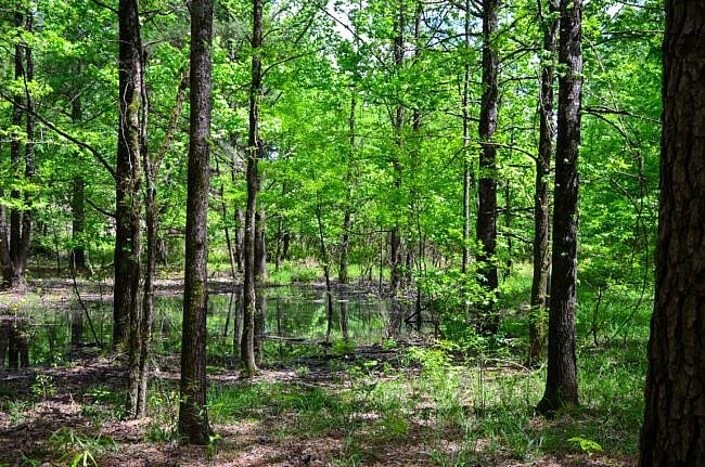
The trail gets close to the lake again and you can see it through the trees. When I was there some of the woodlands were flooded, and it was really pretty.
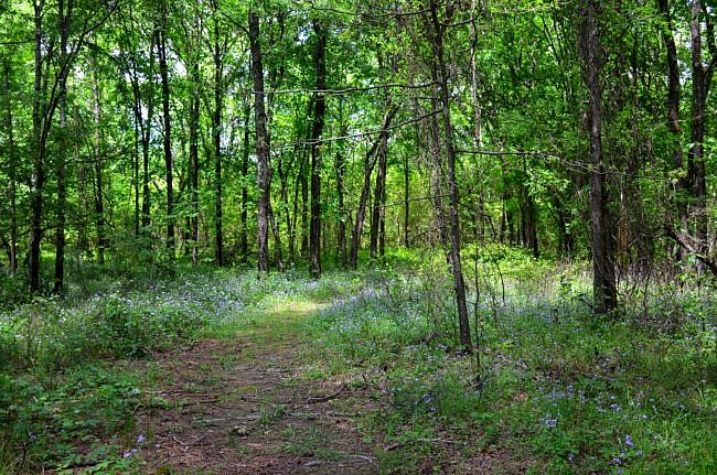
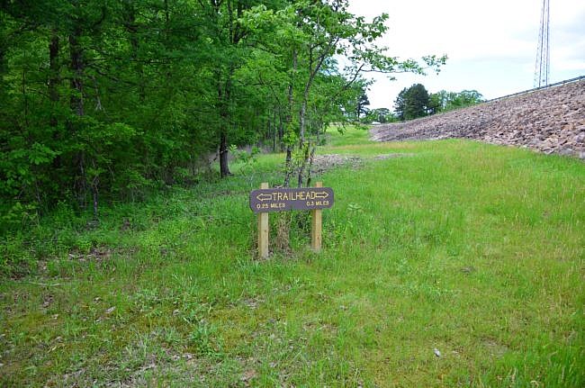
At mile 0.6 the trail seems to end at the edge of the woods and the dike on the road. This area was difficult to follow because the red blazes just ended. There were no more markers or beaten paths to follow.
I took a guess and hiked through the high grass of the road’s right-of-way, which is how the trail goes.
Around mile 0.75 (about 0.1 miles along the grassy area), there is a sign pointing you back in the forest to complete the trial.
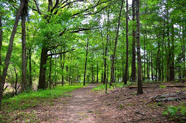
At mile 0.8 you intersect with the shortcut trail. You will want to go to the right here to get back to the trailhead.
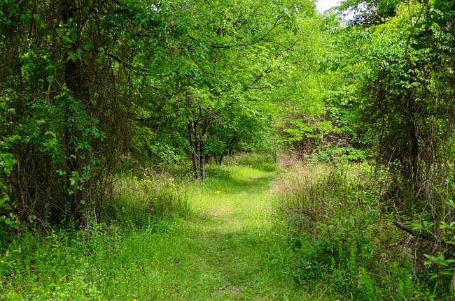
You will quickly come back to the first intersection where you will want to turn right to finish and hike along the “stick” of the lollipop look to finish out the trail.
Final Notes
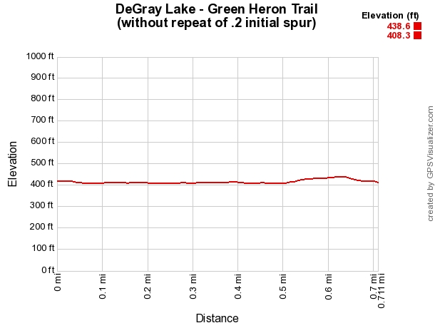
The total length of the hike is about .9 miles. It is an easy hike with no more than 40 feet or so of elevation change.
These photos are from my April 25, 2020 hike.
Photo Gallery
Click below for full-screen photo gallery.
Map
DeGray Lake: Green Heron Trail | |
|---|---|
| Location | DeGray Lake Resort State Park, Hot Spring County, Arkansas (The park is in Clark and Hot Spring Counties.) |
| Hike Length/Type | 1 mile semi-loop. There is an initial spur of .2 miles. |
| Difficulty | Easy (1 of 5). |
| Other Permitted Usage | Pets on a leash. |
| Gpx file by Mike | Link |
| Date Hiked | April 26, 2020 |
| Directions | Google Maps Directions to DeGray Lake Resort State Park Visitor Center |
| Official Info | (501) 865-5810 Website Official Degray Lake Resort State Park Brochure (pdf) |
[A version of this post was originally published on April 30, 2020 in the blog “Right Kind of Lost.”]


2 replies on “DeGray Lake: Green Heron Trail – 1 mi”
I think this is pretty awesome and you did a good job taking picks to explain the trails would love for you to send more
I love it my wife and i love to see gods beauty on all of these nature hikes please keep sending me new information