Ouachita Trail 01: Pics of Talimena S.P. to Potato Hill Vista (0.0 to 2.4)

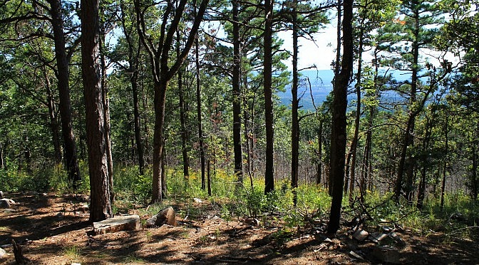
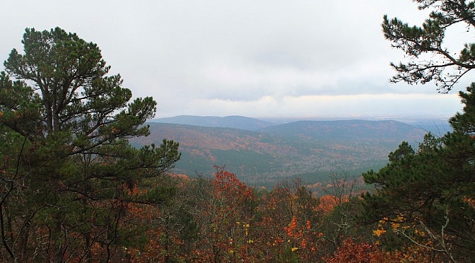
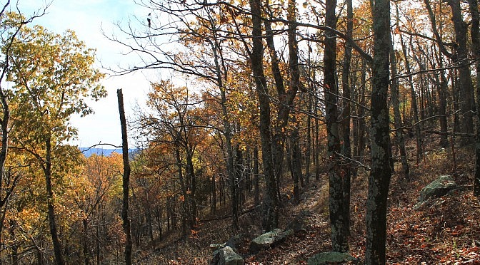
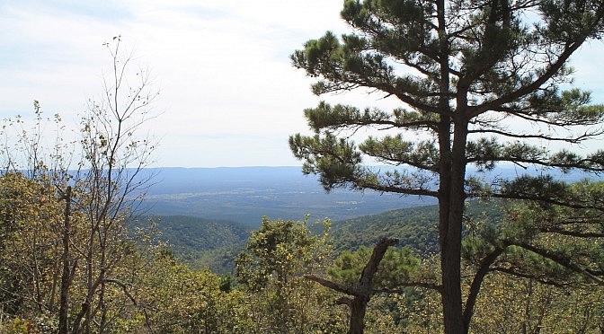
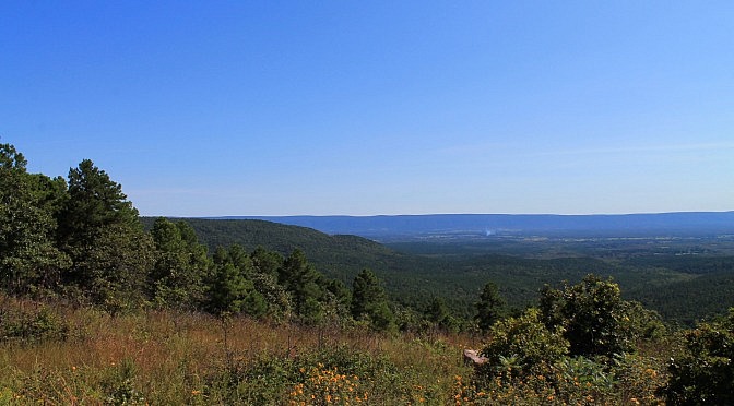
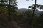
The starting 2.4-mile Ouachita Trail segment from Talimena State Park to the Potato Hill Vista (mile point 0.0 to 2.4) has some nice scenic areas and quite a bit of climbing. The net elevation change is about 850 feet. I like rocky areas and hills. As with much of Winding Stair Mountain, quite a bit […]

Ouachita Trail: 05.8-08.0 – FR 6010 to Deadman’s Gap TH (Section 1)

This 2.2-mile segment of Section 1 of the Ouachita Trail (Ouachita Forest, LeFlore County, Oklahoma) runs from Forest Road 6010 (about mile point 5.8) to Deadman’s Gap (mile point 8.0). At that point, the OT crosses the Talimena Scenic Drive (Highway 88) over to the north side of Winding Stair Mountain. This is a pretty cool stretch […]

Ouachita Trail: 19.9-23.7 – Horsethief Springs to Winding Stair TH. (Section 1)

This is a 3.4-mile segment of the Ouachita Trail from the Horsethief Springs junction to the Winding Stair Trailhead. It’s a scenic walk along the north side of Winding Stair Mountain that, for the most part, is not very difficult. The Tim Ernst mileage for this segment is mile point 19.9 to 23.7. By my […]

Ouachita Trail: 02.4-05.8 – Potato Hill Vista Spur to FR 6010 (Section 1)

This 3.5-mile Section 1 segment of the Ouachita Trail heads from the Potato Hill Vista spur to Forest Road 6010 – approximate mile points of 2.4 to 5.8. This segment is moderately challenging and has several very nice south-facing vista views. I recently hiked the segment by starting at the Potato Hill Vista and heading […]

Ouachita Trail: 00.0-02.4 – Talimena State Park to Potato Hill Vista (Section 1)

This is where the Ouachita Trail starts. This vigorous 2.4-mile Section 1 segment goes from the western trailhead at Talimena State Park (LeFlore County, Oklahoma) to the spur for the Potato Hill Vista. It is mostly on Winding Stair Mountain.

Billy Creek Trail – North Loop (Ouachita Forest) – 7 mi

There are two Billy Creek Trail loops. (The Billy Creek Trail is on Winding Stair Mountain, LeFlore County, Oklahoma, in the Ouachita National Forest.) My post on the south loop is here. The south loop is a 7.3-mile hike with 600 feet in elevation change. It starts with a spur near the Billy Creek Campground. […]