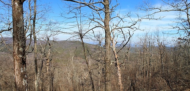
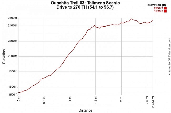
This 2.6-mile Ouachita Trail Section 3 segment is a pretty vigorous hike if you do it as an out-and-back as I did starting (east to west) at the Highway 270 (Black Fork Mountain Wilderness) Trailhead (Polk County, Arkansas). There is an elevation increase of about 1,000 feet, almost all of it in the first 1.5 miles.
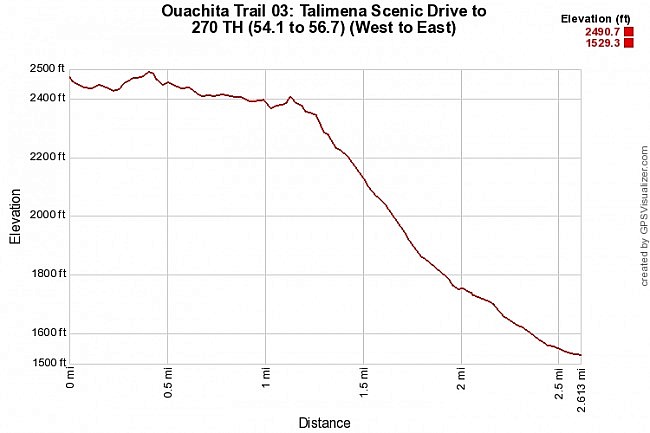
If you are doing it as a through-hike from west to east, it shouldn’t be a difficult stretch.
This stretch climbs interesting terrain and has some cool views, especially during leaf-off.
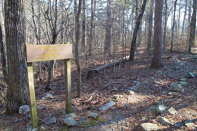
Getting There
To do this as an out-and-back day hike, by far the easiest way is to start at the Highway 270 Trailhead and head west. The trailhead is easy to find, and this way the climbing gets done in the first part of the hike.
There is parking at the trailhead. Tim Ernst calls it the “Highway 270 Trailhead.” The sign says “Black Fork Mountain Wilderness Trailhead.” (This is also where you would park to do the Black Fork Mountain Trail.)
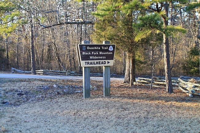
If you’re coming from Heavener, Oklahoma, just take (or stay on) Highway 59/270 heading south. It’s about 30 miles from there to the trailhead. After the highway enters the Ouachita National Forest, it will curve to the east and head into Arkansas.
After crossing the state line, it’s about 8 more miles. The trailhead is on the left. Watch for the “Ouachita Trail – Black Fork Mountain Wilderness – Trailhead” sign. It’s about 1.3 miles past the Highway 272 turnoff (on the right) for Queen Wilhelmina State Park.
If you’re coming from the east on Highway 71, get on Highway 59/270 around the community of Acorn (4 miles north of Mena) and head west.
The Hike
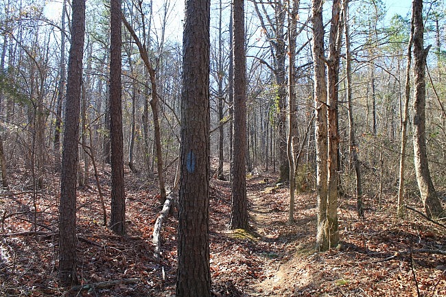
The Ouachita Trail connection is about 20 feet behind the trailhead. (There’s a sign and blue blazes.) Turn right to head west toward Rich Mountain.
Between here and the Oklahoma State Line, Highway 270 runs in a valley between Black Fork Mountain to the north and Rich Mountain to the south. (Both mountains run east-west.) With this hike, we climb up the south side of Rich Mountain.
It’s a .1-mile wooded walk to where the OT crosses Highway 270. Watch for the blue blazes on the other side to stay on the trail.
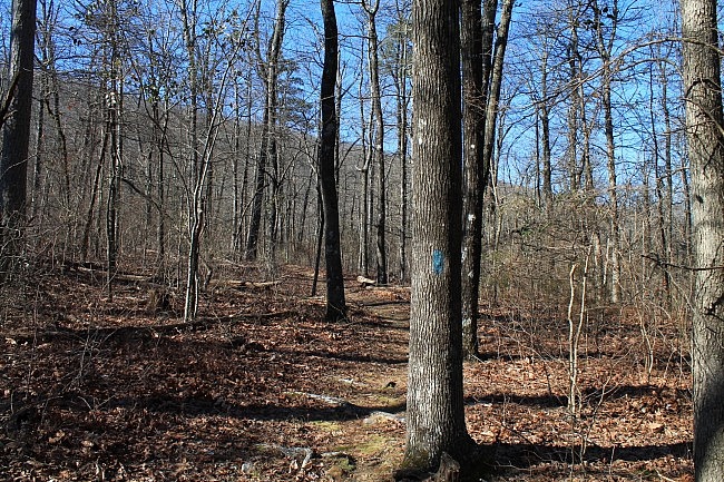
The operative word for the next 1.4 miles is “uphill.” In this first part, the elevation goes from about 1,500 feet up to about 2,400 feet, a 900-foot elevation increase.
At first, the trail has a pretty mild incline. After another .1 mile, it becomes more sloped.
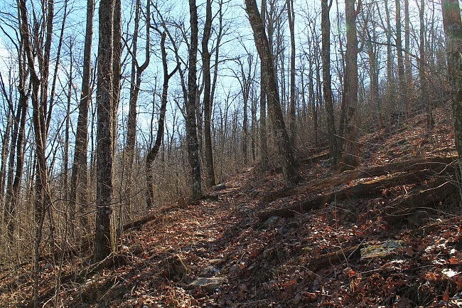
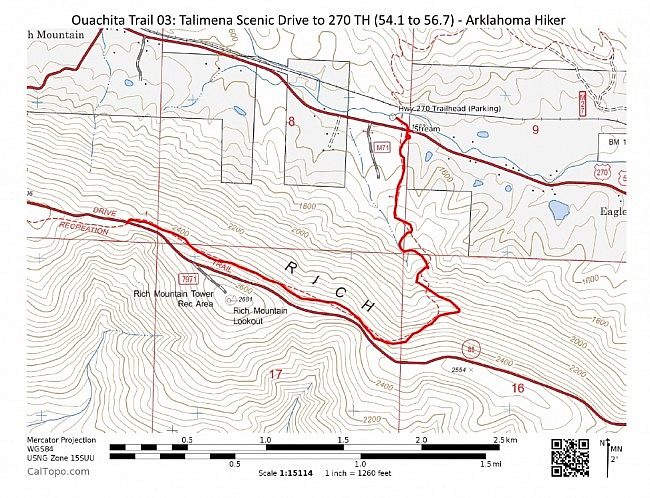
At around .6 into this hike, the trail becomes steeper still as it works its way up Rich Mountain. It’s also at around that point that the trail goes from pretty much heading due south to starting a set of 8 or so switchbacks heading up the steeper parts of the north side of the second highest mountain in Arkansas.
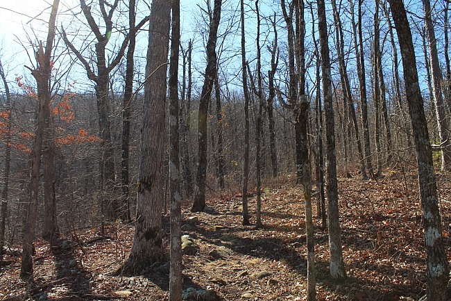
During leaf-off on this hike, there is virtually no greenery as it is nearly all hardwoods.
But leaf-off is a nice time for getting more views, especially in the higher elevations. In fact by .8 or so on this hike (up around 1,850 elevation), you can start to get some good views through the trees of Black Fork Mountain to the left (north) and Fourche Mountain to the right (east).
The best view is probably at around 1.3 where there is a cool boulder field with an open vista to the north and a clear view of Black Fork Mountain.
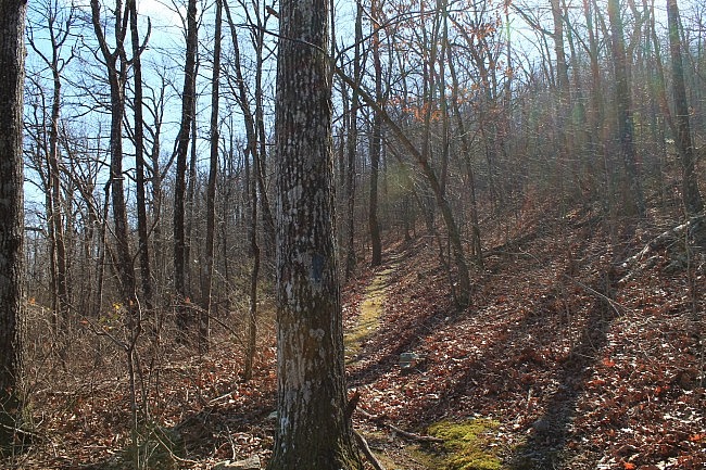
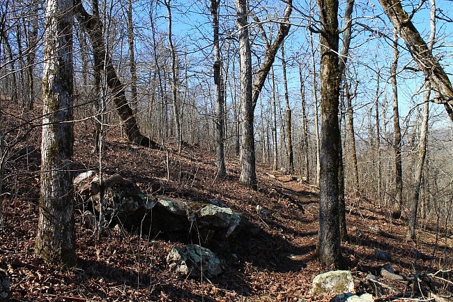
Most of this trail segment is pretty interesting. It’s not a really rocky trail, but there are quite a few rocks to see along the trail, particularly in the higher areas.
I’m a fan of uphill and sloped trails. They add variety and character to the look and experience of the trail.
At around 1.5 on this hike (about mile point 55.6), the trail turns mostly westward and runs parallel to the Talimena Scenic Drive (Highway 88). Around here, the trail has a fork to the left for the Rich Mountain Trail. Just stay straight on the OT.
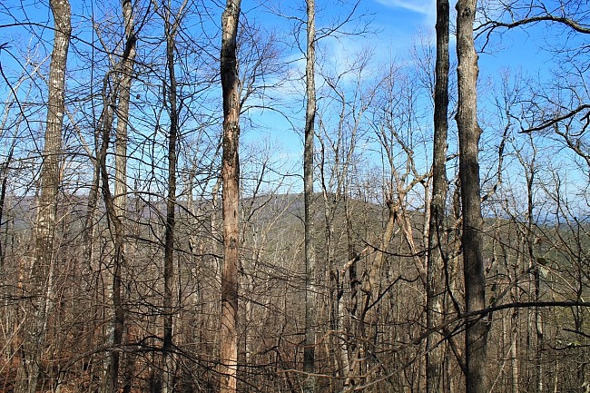
The remaining 1.1 miles is mostly level. It has a bit of up-and-down climbing and eventually works its way up another 100 feet of elevation.
At around 2.6 on this hike, the OT crosses the Scenic Drive over to the south side of the highway. This is the point where I turned and headed back.The elevation here is about 2,450 feet.
If you continued on from here, you would arrive at Queen Wilhelmina after a mile or two.
Of course, the return trip is much easier. It is nearly all downhill.
Final Notes
It was a chilly day on my February hike, in the upper 30s and 40s.
By and large, the trail condition was pretty good when I was there in February. (By the way, Friends of the Ouachita Trail is always looking for volunteers.)
I had no trouble following the trail. There were a couple of places in the higher elevations where a large dead tree was blocking the trail (and had to be walked around) and there were a few places with a little overgrowth in the higher elevations.
I don’t remember seeing any mile markers on my recent hike. (This segment goes through MM 55 and MM 56.) It could be I just missed them, but they may have been stolen.
The only AT&T cell coverage I had was up in the higher elevations. Overall, I probably had cell coverage 35% of the time.
For hiking the Ouachita Trail, I recommend Tim Ernst’s Ouachita Trail Guide.
These photos are all from my February 13, 2016 hike.
[Check out this post for more pics from that hike.]
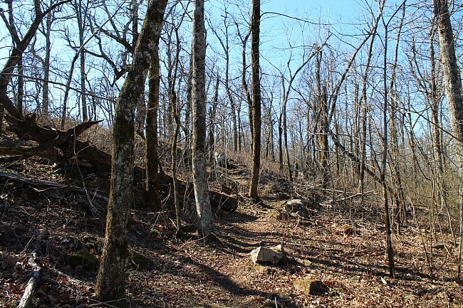
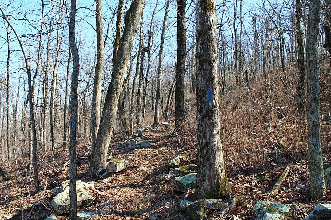
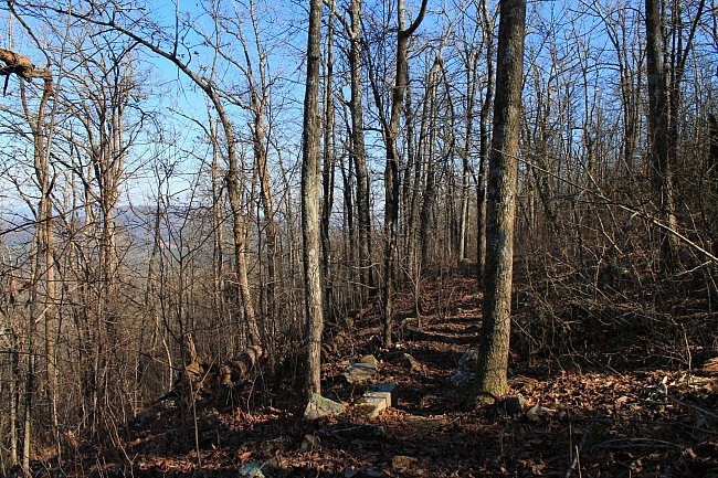
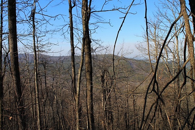
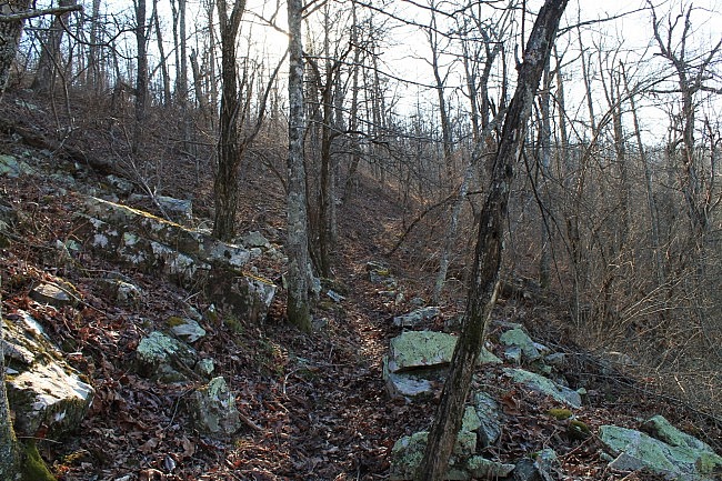
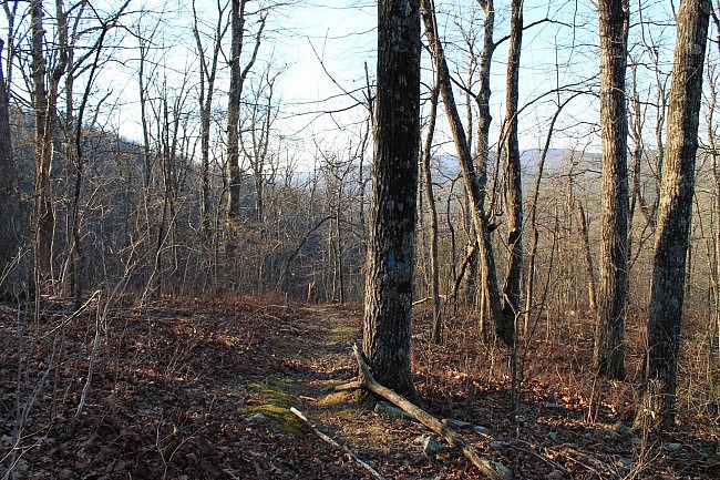
Photo Gallery
Click below for full-screen photo gallery of these pics and more from my February 13, 2016 hike.
Map
Ouachita Trail 03: Talimena Scenic Drive to 270 TH (54.1 to 56.7) | |
|---|---|
| Location | Polk County, Arkansas |
| Hike Length/Type | 2.6 miles each way. (5.2 miles out and back.) Blue blazes. |
| Difficulty | Very Strenuous (5 of 5) |
| Other Permitted Usage | Mountain bikes. |
| Gpx file by Mike | Link |
| Date Hiked | February 13, 2016 and earlier |
| Directions | Google Maps Directions to Highway 270 Trailhead |
| Official Info | (479) 394-2382 (Mena/Oden Ranger Dist.) USFS Website FoOT Website |
[Last revised 9-19-2021.]


