Buffalo River Trail: Steel Creek to Steel Creek Overlook ā€“ 3 mi (o&b)

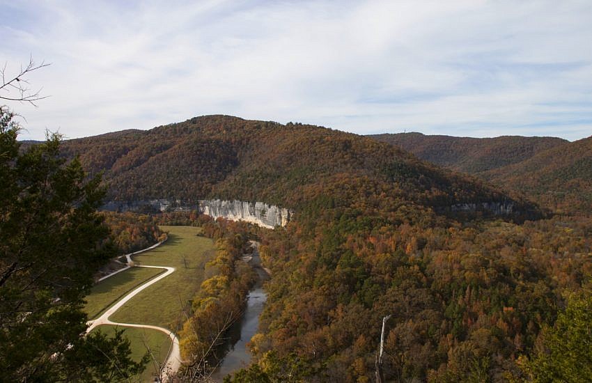
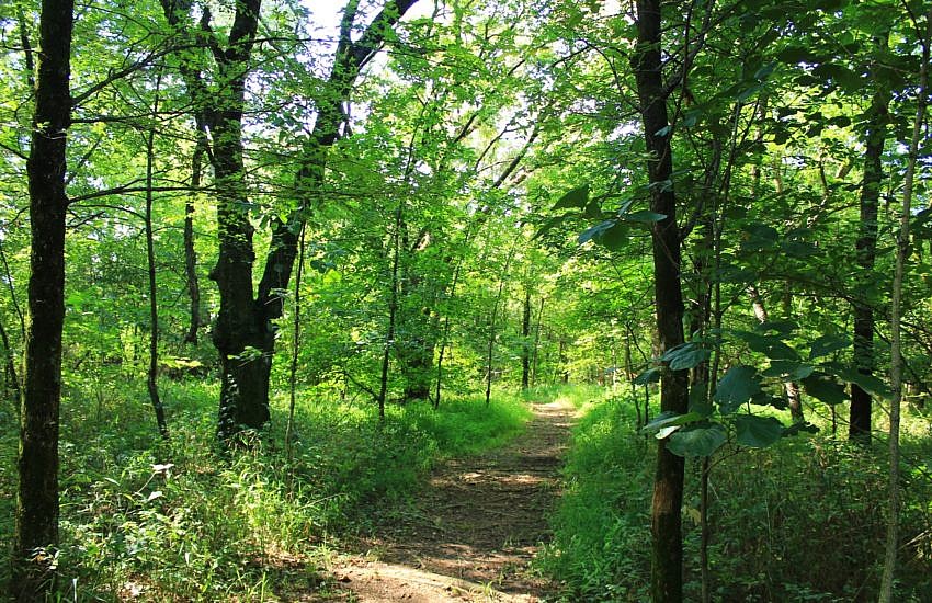
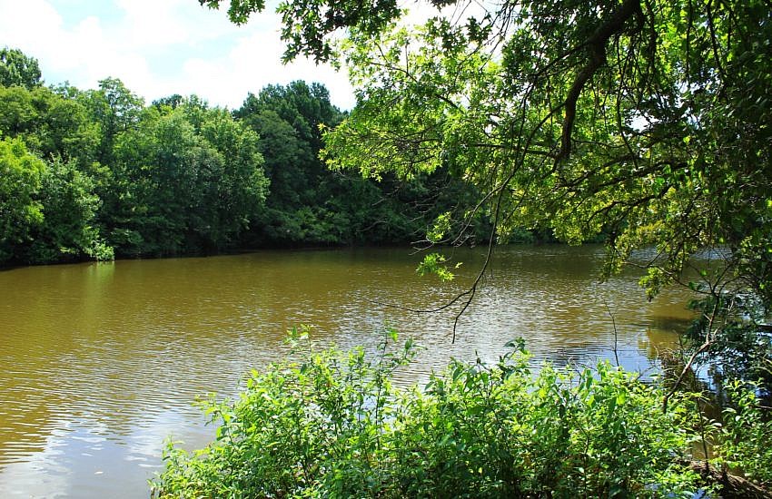
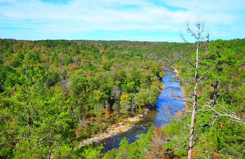
The Buffalo River Trail (currently) is an approximately 40-mile trail running from Boxley to Pruitt along the Buffalo National River in Newton County. There are several additional sections along the middle part of the Buffalo that do not connect with these initial 40 miles on the upper Buffalo.

Sequoyah State Park: Deer Run Trail ā€“ 2 mi

Deer Run Trail at Sequoyah State Park (near Wagoner and Tahlequah) is an easy and pleasant 2.4 mile forested out-and-back hike (1.2 miles each way). It is open to hikers and cyclists. It was maintained in nice condition when I walked it in July.

Oxley: Oxbow Lake/North Woods Trails – 2 mi

It’s nice to come across wilderness trails within a city. The Oxbow Lake and North Woods trails at Oxley Nature Center in Tulsa are a couple of scenic trails that make an easy 2-mile semi-loop with lush woods and pretty lake (pond) views.

Cossatot River: Harris Creek Trail – 3 mi

The Harris Creek Trail at Cossatot River State Park-Natural Area (Howard and Polk Counties) is a great intermediate level 3.2-mile loop trail with some very nice views. There are some steep parts, but they do not last long. The trail is also dotted with benches so you can rest after a steep climb.

Sequoyah State Park Trail Maps

Sequoyah State Park in northeast Oklahoma (Cherokee County, near Wagoner and Tahlequah) is a really cool park. It has over a half dozen trails which are all accessible to hikers and walkers with many also being open to bikes as well.

Ouachita Trail: 51.6-54.1 – Queen Wilhelmina to Hwy 88 (Section 3)

This is a 2.5-mile stretch of the Ouachita Trail that goes from Queen Wilhelmina State Park heading east to Highway 88 (Talimena Scenic Highway). It is the first part of Section 3 (following Tim Ernst), and is all on Rich Mountain in Polk County, near Mena. It is a pretty enjoyable stretch mostly running along […]