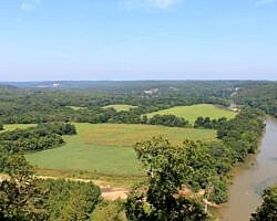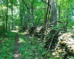
This hike is a 3.8-mile loop in the Buffalo River’s Tyler Bend Campground area. (Tyler Bend is also home to the Buffalo National River Visitor Center.) It’s a pretty cool hike as you get to see some nice river vistas, the historic Collier Homestead, and a pioneer rock wall.
This loop is made up of the River View Trail, the Rock Wall Trail, and a small part of the Buffalo River Trail to connect the two.
The hike is moderately challenging with a net elevation change of about 300 feet. Most of this hike is along a ridge.
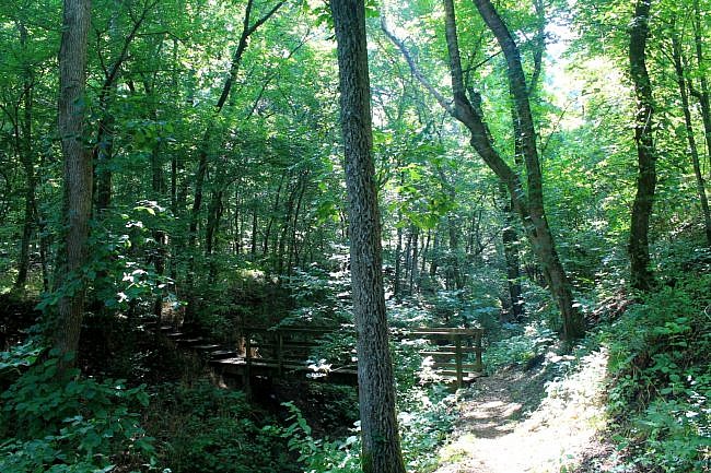
I did the loop counterclockwise starting at the Visitor Center. Just outside the building is the River View trailhead.
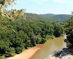
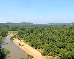
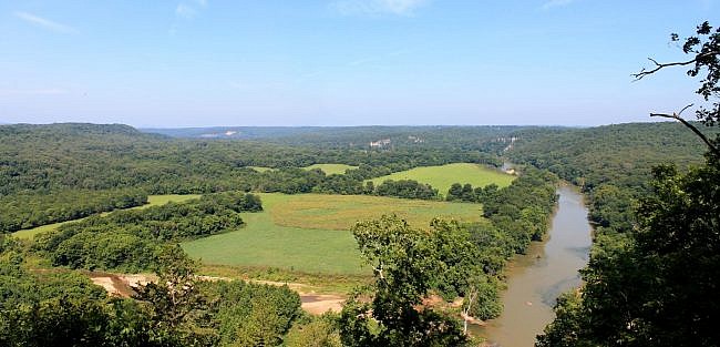
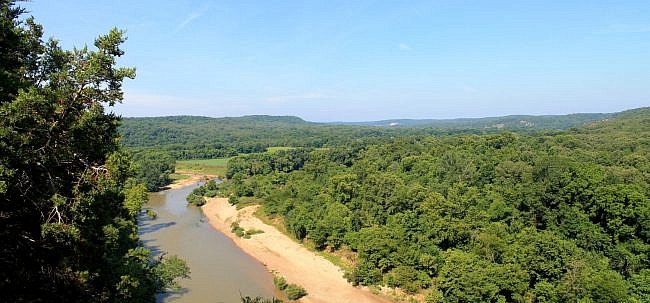
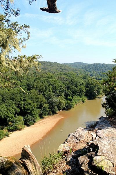
This 1.4-mile trail makes the western side of the loop. The River View Trail climbs up to a bluff line with some very nice Buffalo River vistas.
At the south end of the River Valley Trail, turn east (left) and join the Buffalo River Trail. (Don’t take the shortcut spur that heads back to the Visitor Center.)
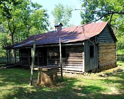
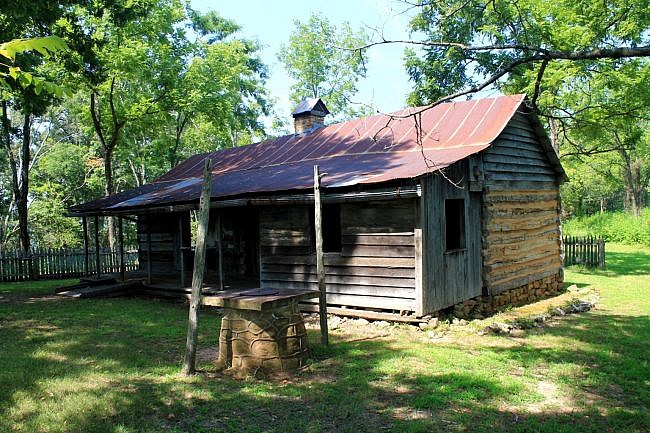
At this juncture, you will be at the historic Collier Homestead. Here are restored buildings of the Sod and Ida Mae Collier family who made their home here from the 1930’s to the 1950’s. The structures include the main home, a cistern, and a smokehouse.
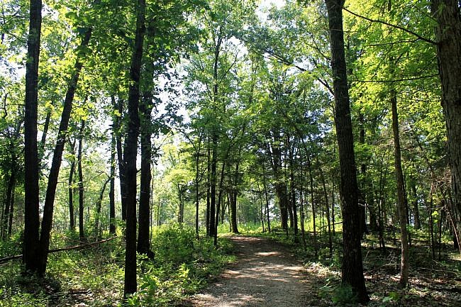
Continue east on the Buffalo River Trail (BRT). The BRT is a roughly 40-mile trail that follows the length of the Buffalo National River.
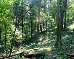
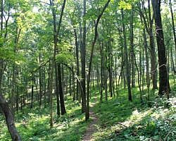
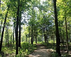
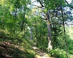
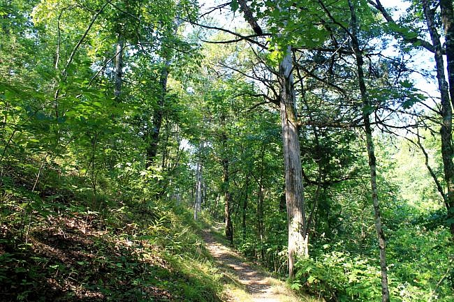
This wooded stretch of the BRT is not difficult to walk or to follow. (There was a little bit of overgrowth when I walked it in July, but not much.) This stretch stays on a fairly level ridge.
There are actually several trail options for completing the loop. For this hike, take the Rock Wall Trail. The turnoff for the Rock Wall Trail is about a mile from the homestead. You will pass the turnoffs for the Spring Hollow Trail and the Buck Ridge Trail. (You could make them into hike loops if you would like.)
Be alert for the turn for the Rock Wall Trail. When I was there, the signage at that turn was in some disrepair. Most of the signage on the hike was in good shape though.
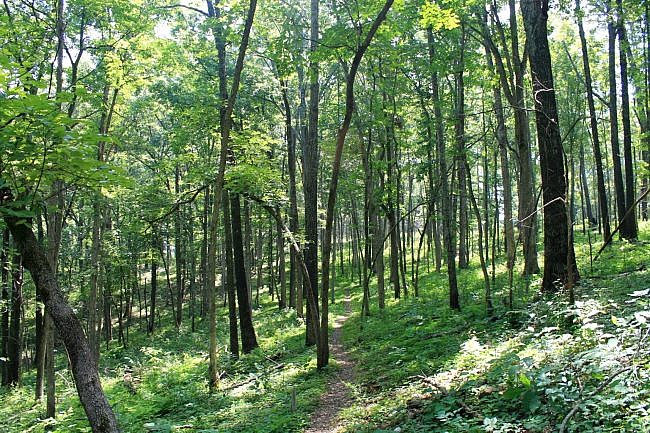
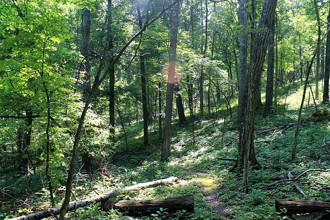
It is then about a mile along the Rock Wall Trail to the trailhead at the east end of the campground, next to the amphitheater. It is about a half-mile walk across the campground to get back to the Visitor Center.
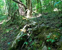
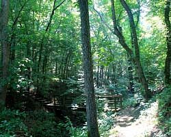
The Rock Wall Trail is not difficult and features a cool (and long) pioneer-built rock wall.
As with most Buffalo River trails, there were very few blazes on the hike, but it was not difficult to follow the trail when I hiked it on July 26.
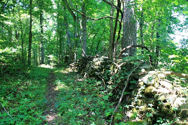
These photos are from my July 26, 2014 hike.
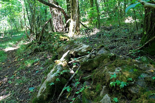
Photo Gallery
Click below for full-screen photo gallery.
Map
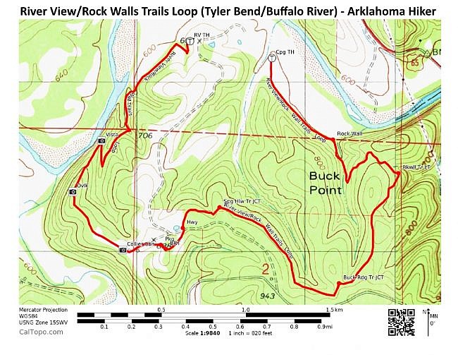
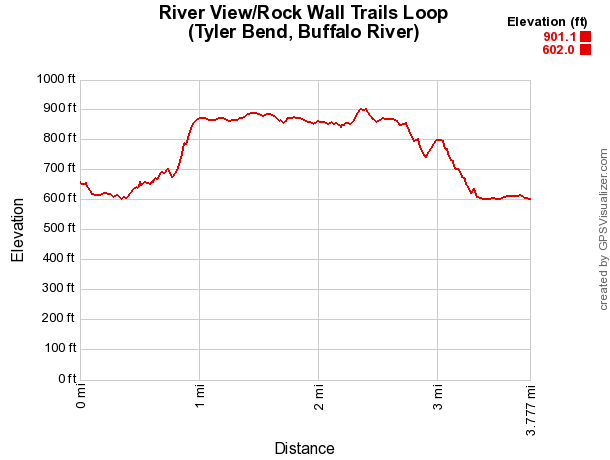
River View and Rock Wall Trails Loop (Buffalo River) | |
|---|---|
| Location | Tyler Bend Campground, Buffalo National River, Searcy County, Arkansas |
| Length/Type | 3.8 mile loop (not including about half-mile walk through campground back to trailhead). |
| Difficulty | Mildly challenging (2 of 5) |
| Other Permitted Usage | None. (No pets.) |
| Gpx file (by Mike) | Link |
| Date Hiked | 7-26-2014 |
| Directions | Google Maps Directions to River View Trailhead by Tyler Bend Visitor Center |
| Official Info | (870) 439-2502 (Tyler Bend Visitor Center Information) Website NPS Middle District Trail Map (pdf) Collier Homestead Brochure (pdf) |
[Last revised: 8-29-2021]

