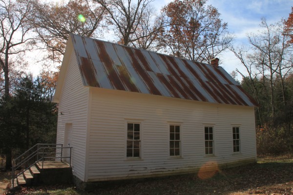
The Erbie area, in the Buffalo National River upper district, has a lot of great hiking trails and several dirt roads that can be used to make loop hikes of various lengths.
But sometimes getting to Erbie is a challenge.
Directions to Erbie
The simplest way to get to Erbie is to come in from Arkansas Highway 7, just south of Pruitt. Take the road by the Erbie Campground sign. This is County Road 79 or Erbie Campground Road, but it’s a gravel road and the road name isn’t well-marked. If you turn at the sign for Erbie Campground, it will take you there.
This road takes you by the Koen Experimental Forest, the Erbie Campground, and the Parker-Hickman Homestead.
However, this route requires you to ford two water crossings to get to the trailhead. These crossings are usually fine to cross for even a two-wheel drive vehicle. But when the water is high, particularly in late spring, you may want to use another route, or plan to park on the south side of the river and wade across.
There is also a route to Erbie from Highway 43 in Compton. (This is the same road that takes you to the trailhead for Hemmed-in Hollow, Hideout Hollow, and McFerrin Point.) This road is very steep and rocky, so I don’t advise this unless you have a four-wheel drive. (And even then, I wouldn’t recommend heading back out that way.)
The most reliable method is to take the small gravel road near Marble Falls on Highway 7, just north of the old Dogpatch area. It’s long, almost entirely gravel, and pretty bumpy, but it is very scenic. We have never had any problems taking that route.
Once in Erbie, park at the trailhead at the three-way intersection just uphill from the Erbie Church.
The Loop Trail
This is a pretty easy loop hike, only about 1.8 miles, and well worth the amount of effort you put into it. Much of it is on gravel roads and old settler roads, and passes great scenery and a couple of historic homesteads.
Start off by heading down the gravel road past the Erbie Church. (If you came across the river ford, this is the road you arrived on.) Follow this road about .6 miles until you get to an old homestead – the Buchannan-Clagett home. Buchannan’s gravestone is in the Cherry Grove Cemetery across the river.
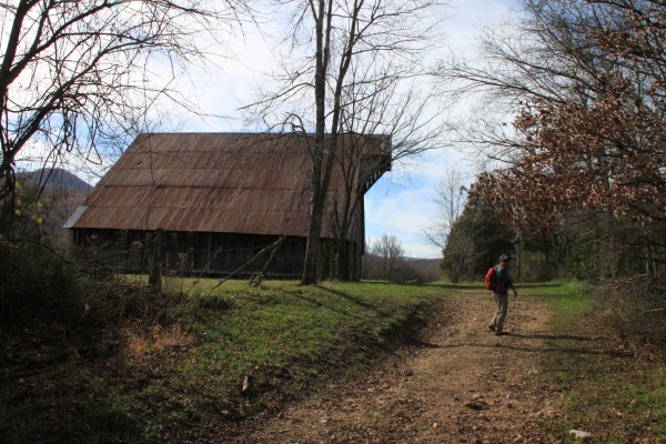
At this homestead, turn right on the small road and pass by the cable gate and the large barn.
Just past the barn, the path splits. The larger gravel road that heads up the hill goes to a horse camp. Stay on the lower path. (This is also an old road but much more overgrown.)
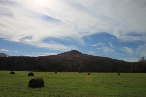
This road is part of the Old River Trail. This very scenic part of the trail follows along an open field with a large mountain in the background.
Once you get past the pasture, at about .9 miles, the trail splits. The Old River Trail heads off to the left and quickly crosses the river. Keep going straight.
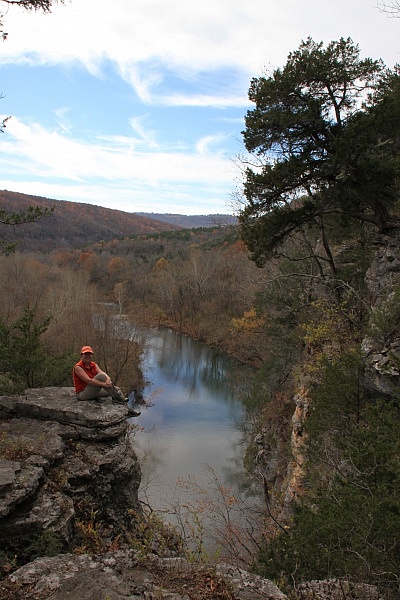
This next section is a bit overgrown but short. Then you hit a set of rocky stairs that climb up the bluff. It’s a short, steep, and scenic up the stairs to the top of Goat Bluff.
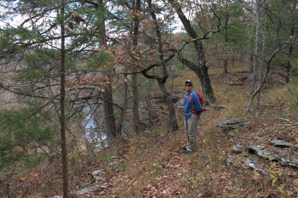
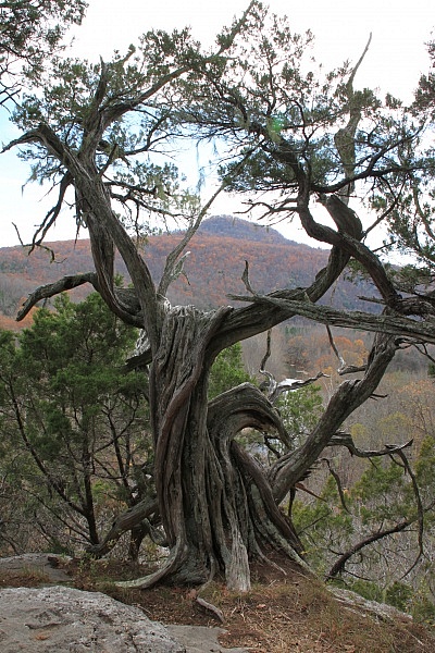
From there, you will follow the top of the bluff for about .3 miles. There are spectacular views of the river and the countryside from the top. Be very careful along the bluff’s edge.
Once you get to the end of Goat Bluff, you’ll hit another gravel road. This also goes back to the horse camp.
Stay straight for about 15 yards. Then turn right at the intersection. (Going straight will take you down a beautiful rocky trail that in .4 miles leads to the JW Farmer’s Homestead. If you would like a longer hike you can head down to this old homestead (part of the Farmer’s Trail) and then either head back to the road from there or double back to the intersection at the top of Goat Bluff.)
After another half-mile, you will be back at the parking area. (When we hiked the trail in mid-November, we didn’t actually do this part. We enjoyed the scenery along Goat Bluff so much that we decided to hike down to the J.W. Farmer Homestead doubled back the way we came.)
Date Hiked: November 13, 2011
Distance: 1.8 mile loop
Difficulty level: Mostly easy, but the short climb up Goat Bluff may be challenging for some
Shoes: Trail shoes are fine
Guidebook: Tim Ernst: Buffalo River Hiking Trails
[This post was originally published on November 18, 2011 in the blog “Exploring Northwest Arkansas.”]

