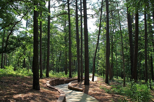
The Ozark Plateau Trail (Hobbs State Park-Conservation Area in eastern Benton County) is a scenic wooded walk which should not be a real challenge for most people.
The outer loop, the focus of this summary, is just .6 miles.
Getting to Hobbs
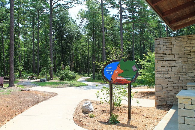
The trail starts next to the Hobbs visitor center.
The park is on Highway 12, about 15 miles east of Rogers. You can get there from the south by taking County Road 98 north from War Eagle about a half mile, and then turning right onto Highway 12.
The trail is well-marked and starts on the west side of the visitor center. It is to your left as you pull into the parking lot, next to the picnic area.
The Trail
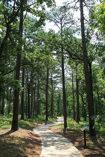
This is a paved ADA-accessible trail with informative signs and a number of benches.
This description is just on the outer loop. (There also is a shorter inner loop.)
After the first 70 feet or so, there is a fork where the loop starts. I usually turn right to take it counterclockwise.
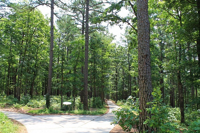
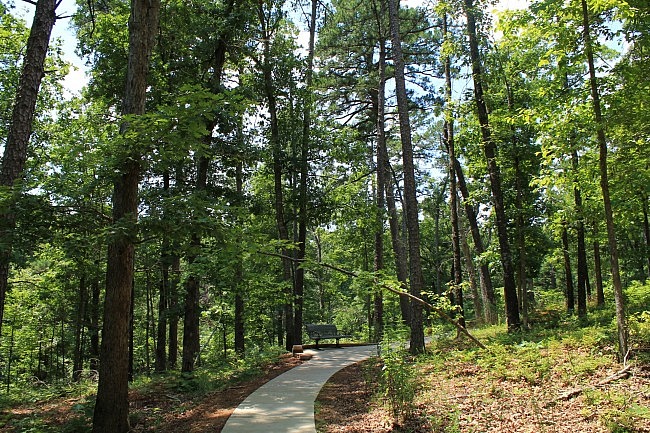
This is an easy trail, but it is not completely flat. The trail goes a short ways down hill heading pretty straight in a southeast direction for about .2 miles. It then does a little bit of switch-backing, hitting the bottom of the descent at around .3 miles.
The descent to the bottom point is pretty gradual. The elevation drop is about 70 feet.
From here, the trail will gradually curve left back uphill to return to the trailhead – heading north, then northwest, and then west.
It’s a pleasant trail and only a few years old.
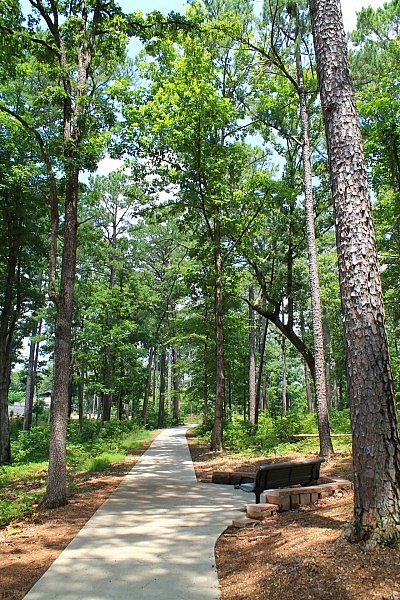
“Mountains” or Not
One interesting thing on the trail signage and brochure is a statement that the Ozarks does not really have mountains because its peaks were formed through erosion. As stated in the trail brochure regarding the Ozarks, “What are commonly called ‘hills’ or some may refer to as ‘mountains’ are actually the remains of an eroded flat ocean floor.”
This presumably is on the view that a real mountain is only formed by tectonic plate shift or by volcanic activity.
Here’s my take. I think in common usage, a mountain is a naturally occurring landform that is higher than the surrounding land and bigger than a hill, and it doesn’t matter whether it was formed through tectonic plates, volcanic activity, or simply erosion.
So, for example, I think White Rock Mountain is a mountain, even though it was formed by erosion.
That’s just my view.
Final Notes
You can learn more about the history of Hobbs at this link.
I had AT&T cell signal when I last walked the trail.
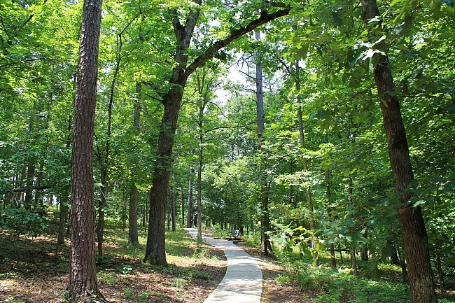
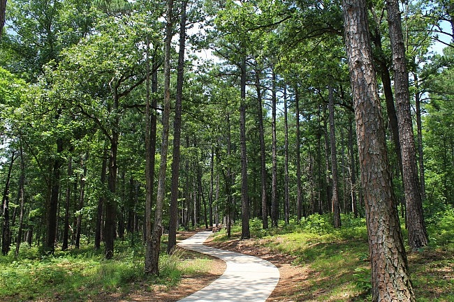
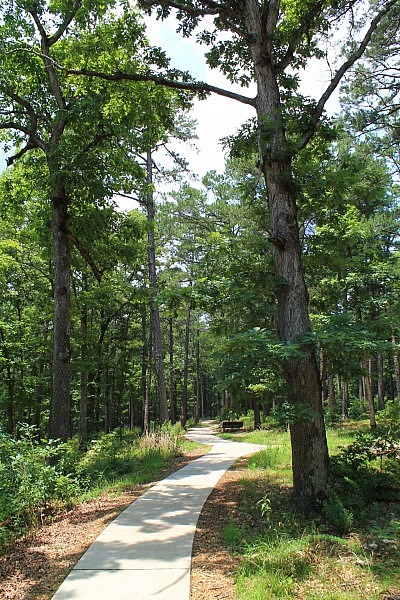
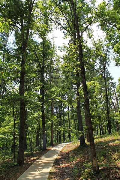
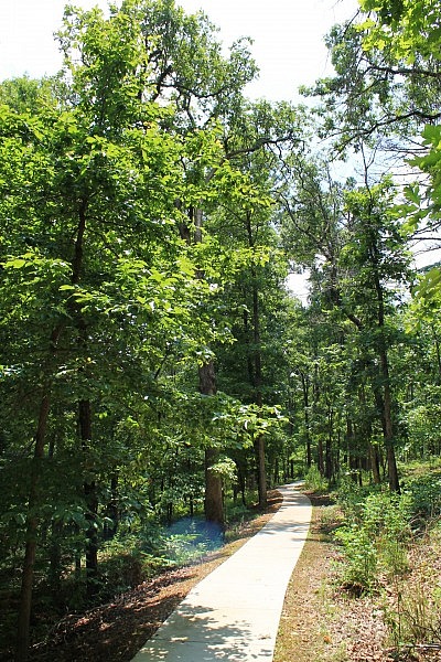
Photo Gallery
Click below for full-screen photo gallery.
Map
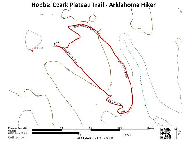

Hobbs - Ozark Plateau Trail | |
|---|---|
| Location | Hobbs State Park-Conservation Area, Benton County, Arkansas |
| Length/Type | Loop. Outer loop is .6 miles. |
| Difficulty | Easy (1 of 5) |
| Gpx file (by Mike) | Link |
| Date Hiked | July 3, 2015 (and earlier) |
| Directions | Google Maps Directions to Hobbs State Park Visitor Center |
| Official Info | (479) 789-5000 Website Official Trail Map (pdf) |
[Last revised: 8-22-2021.]


