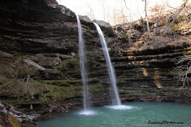
Hawksbill Crag/Whitaker Point (Newton County, Upper Buffalo Wilderness Area, Ozark National Forest) is among the most visited and photographed spots Arkansas — and for good reason. However, deep in the valley below Whitaker Point lies a beautiful valley formed by Whitaker Creek. During wet season, there are an abundance of waterfalls that are not visited nearly as often as the popular bluff above.
This area has been on my list for a while, but awaiting the right weather conditions (times of high water and leaf-off are best) has been key. The area proved to be worth the wait. There are no formal trails here, but when we visited on January 2, we found everything we were looking for without much problem and without a GPS. (We did have the help of a guidebook.)
I suspect reaching these areas in the late spring or summer when the undergrowth has grown up would be a challenge.
Getting There
From the community of Ponca, take Highway 43 south through the Boxley Valley, then turn left (south) onto Highway 21. Just before you cross the Buffalo River bridge in Boxley, turn right onto Cave Mountain Road.
Cave Mountain Road is a very steep, very bumpy road although 4-wheel drive is not required during most weather conditions.
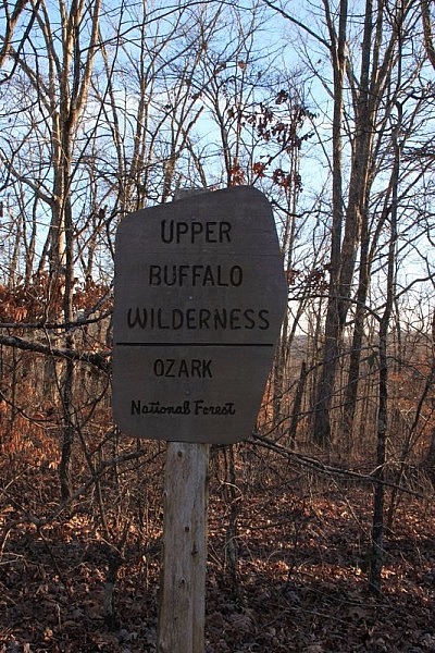
Once you get to the top of the mountain, you will pass Cave Mountain Church at 5.4 miles. The Whitaker Point trailhead is at 6 miles. It is then another 1.1 miles to the “Upper Buffalo Wilderness Boundary” sign. Park along the road here making sure to not block the road from passing traffic.
For approximate Google Maps directions to the Whitaker Point (Hawksbill Crag) trailhead, see this link.
The Hike
The “trail” starts off directly behind the sign and heads straight down the hill. Again, there is no official trail, so just pick your way down the hill as best you can. If you are headed down, you are heading the right way.
We hiked this on January 2, so there wasn’t a lot of undergrowth. We found it to be pleasurable enough hiking on the way down. The hike back up was a bit harder.
At about .3 miles, we reached Whitaker Creek. It runs the length of the valley. You will be following the creek the rest of the way.
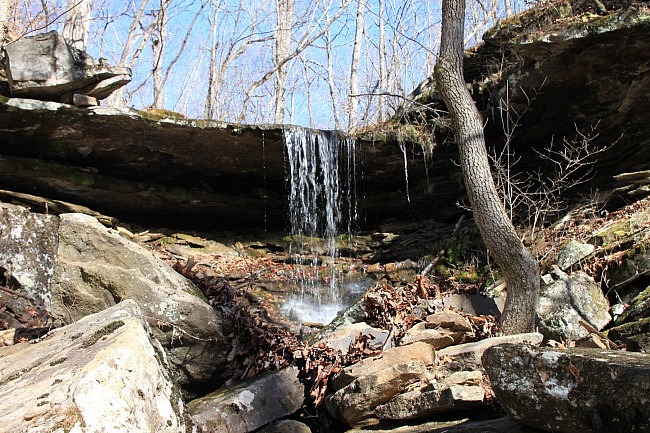
As soon as we got to the creek, we immediately saw a waterfall coming in from our left from a side drainage. We checked out Unnamed Waterfall #1. I was also glad to see this falls because it made for a nice marker for when we would need to go back up the hill to get to our car.
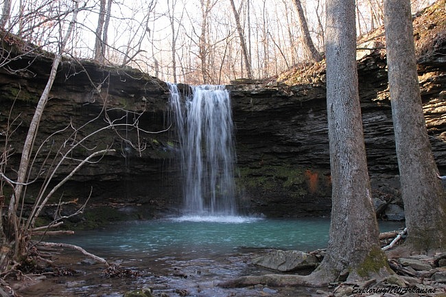
From here, Amber Falls was just a few hundred yards upstream, which was to our right. Amber Falls is a very nice 18-foot waterfall that tumbles into a nice pool below.
Amber Falls is named for Amber Ernst. Her father, Tim Ernst, has spent a significant amount of his life exploring the wilderness of northwest Arkansas and documenting it through a series of guidebooks that help people explore and truly enjoy this area.
The trail map to get to these falls is in his book Arkansas Waterfalls.
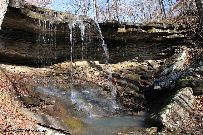
After enjoying some time at Amber Falls, we turned and went back downstream past Unnamed Falls #1. A short distance downstream from there we hit another drainage coming in from our left.
Just up this drainage was another unnamed waterfall — Unnamed Falls #2.
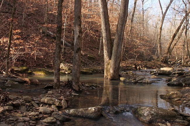
From here, we continued following Whitaker Creek downstream. Again, there is no official trail here, but we found following the creek to be pretty manageable and to be very scenic.
The beech trees were really glistening off the reflections of the water on this beautiful winter day.
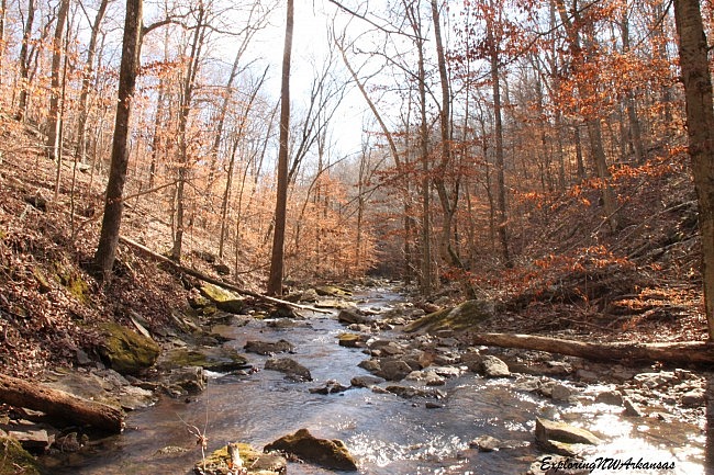
After about 1 mile (from the car), we arrived at a series of cascades. These cascades are just upstream from Compton’s Double Falls and are very scenic.
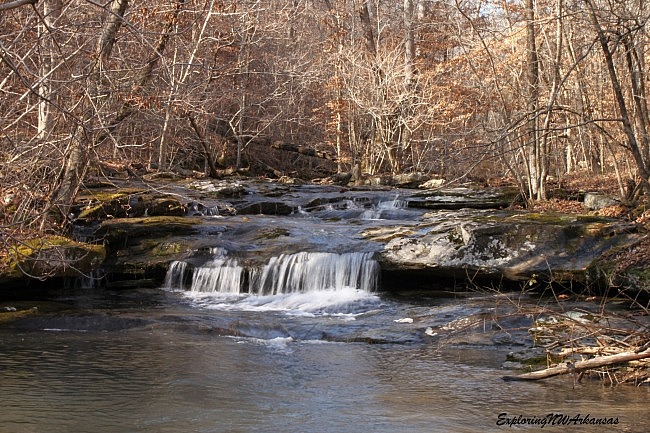
The second cascade even comes off at an angle forming an interesting diagonal cascade.
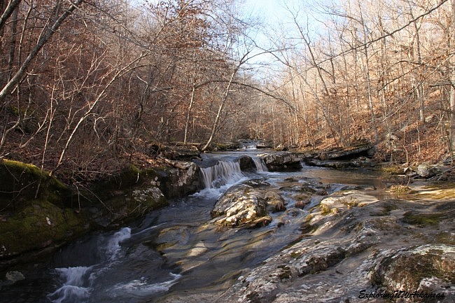
This point is essentially at the top of Compton’s Double Falls. However, the best views are from the bottom, so finding the way down is important.
Note of caution: As always, be very careful around bluffs because of the risk of a dangerous fall.
From here, we went to the left of the creek as we went downstream. This path goes along the top of the ridge for about 300 yards or so high up on the bluff above the falls. Be very careful as the path here follows very close to the edge.
Eventually, the bluff line started heading downward, and then there was a break that allowed us to get to the bottom of the bluff line. Head down here (again, be careful, this is pretty slick) to get down around creek level.
Once you get to the bottom, you will need to cross Whitaker Creek and head back upstream 300 yards to get to the base of Compton’s Double Falls.
Compton’s Double Falls only runs as a double when the water is pretty high, but it is a beautiful falls that pours 39 feet into a blue pool. It is a fabulous waterfall and canyon area that is very peaceful.
It is named for Neil Compton, one of the advocates that fought to keep the Buffalo River as a natural, flowing river. It was his vision that helped preserve the river and wilderness that we all enjoy.
When you are done at Compton’s Double Falls, there is one more falls to check out as you head back. Literally, 20 feet beyond where you came down the hill to get to the bottom of Compton’s Double Falls, there is another creek that flows in from the right side of the creek (when facing downstream). Follow this creek a hundred yards upstream, and you will get to Owl Falls.
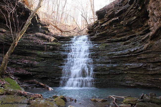
Owl Falls is roughly 20 feet tall and is a fantastic cascading waterfall. I think this one is prettier than my photos indicate as the sun wasn’t my friend at the time of day we were there. (It was directly behind the falls).
There are more waterfalls downstream, but as daylight was running short, we had to save those for another day. From here, we went back the way we came.
Final Notes
It is about 2.1 miles round trip to the top of Compton’s Double Falls. It is .75 miles if you only go to Amber Falls.
Because there is no trail here and the footing is iffy at times, it will feel longer than that. From a timing perspective, there is a lot to enjoy here, so leave yourself plenty of time to explore.
I rate the difficulty of this hike as strenuous (4 of 5). For footwear, I recommend hiking boots.
For a guidebook, see Tim Ernst’s Arkansas Waterfalls.
These photos are all from our January 2, 2016 visit.
Photo Gallery
Click below for full-screen photo gallery.
[A version of this post was first published on January 24, 2016 on the blog “Exploring Northwest Arkansas.”]
Last revised: 3-15-2020.


