This week we backpacked the first section of the Buffalo River Trail from Boxley to Ponca, a total of 11.1 miles. We had originally planned to do this hike with a couple of friends, but alas, Mother’s Day interfered with that plan.
Since we’d already tried twice before to hit this trail and been delayed by Easter (oops, thanks Denise) and the huge flooding (ugh, thanks Mother Nature), we went ahead and took off Saturday morning. 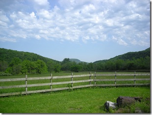 The planned leave time was 5 a.m. Time I got out of bed? 6:30.
We still managed to make the drive and get to the Buffalo Outdoor Center by 10 and arranged for our car to be shuttled. The folks at the BOC are great. We’ve used their shuttle service both times we’ve gone to the Buffalo River, and they are very friendly and helpful.
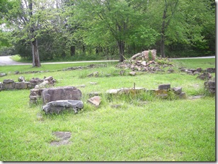
The parking area for the trail is across the highway from the actual trail, next to the Whiteley homestead. I snapped a couple of shots of the root cellar and the foundation and chimney before we headed across the highway to start the trail. The rain had cleared out, and it was going to be a beautiful day!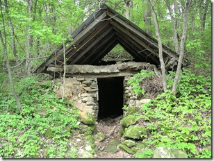
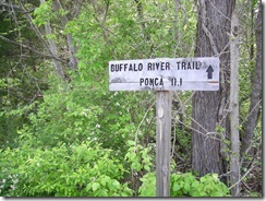 This section of the BRT is on the east side of the Buffalo River and meanders along the hillsides looking down into Boxley Valley. There are several stream crossings, and with the rainfall we’ve had, they were definitely wet!
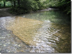
Our first crossing was Smith Creek and came at the beginning of the hike, just past the sign marking the start of the trail. The water was high enough to go over the top of your boots, so I opted to switch my hiking boots for water shoes. Stuart’s hiking boots are more substantial (and more waterproof), so he just tromped on through. He still had to wait for me to do a shoe switch and get a picture though.
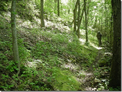
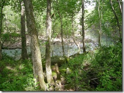 The trail follows along Smith Creek for a little way, then heads past a field to follow a narrow trail by a steep hill. It runs along the hill, right next to the field and an evil barbed wire fence for a while. There were a couple of trees down across the trail and some clambering to get around the obstacles. The vegetation is thick along the hill with a boulder or two peeking out every once in a while. Eventually, the trail starts climbing up the hill.
We stopped to catch our breath on the climb u,p and I saw at least 6 kinds of trees in about a three-foot area and none of them were oak. There were maple, elm, sycamore, dogwood, and one I wasn’t quite sure about. After about a 500-foot elevation change, the trail begins to level out.
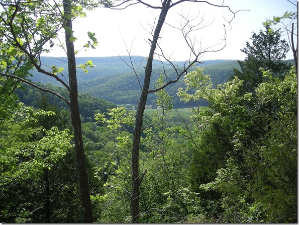
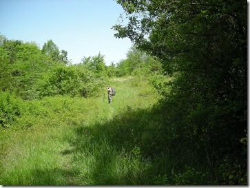 Our last hike on the BRT from Ponca to Kyle’s Landing was filled with dramatic views during leaf-off. This hike was different in that the views were not as dramatic, but the landscape and wildlife were much more varied. There were lots of butterflies and birds flitting about the field we were hiking through, and the wild roses were blooming, making the day smell wonderful.
Unfortunately, there were also lots of ticks and mosquitoes to cause consternation. Although the grassy field was just a little over two miles in, it was one of the best spots for a great view, and we took some time to check out the scenery. The panorama at the top of the post was the view from this field.
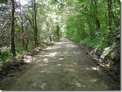 After leaving the field, the trail heads
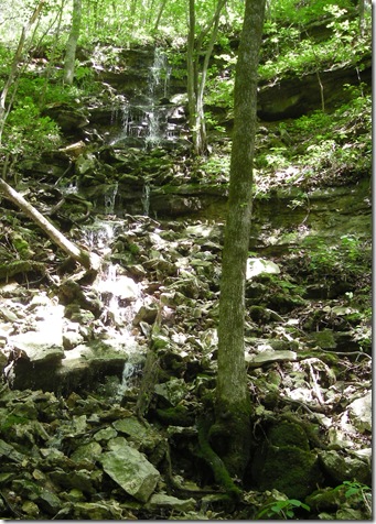
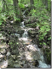 down to a county road and follows it for about a half a mile before heading back through some fields to Arrington Creek. The wet weather provided some muddy hiking as well as some great little waterfalls and streams.
I snapped a shot of a pretty little run-off into the ditch beside the road as we trekked on our way. There were a couple of ponds along the roadside, and lots of frogs were croaking out their little songs.
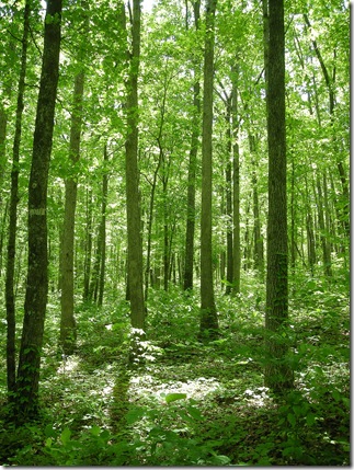
 On the left hand side of the road was a signpost for the trail, and we started our descent into Arrington Creek. This hike went through a field for a short way, then through a forested area with really tall trees. It was good to have the shade, and there was a bit of a breeze, but the day was really starting to warm up.
At 3.3 miles in is Arrington Creek. It was running fairly swiftly, but there were enough stepping-stones to avoid getting too wet. This was the first good spot to camp, with two campsites in the area with fire rings and level ground for a tent. It was still pretty early in the day, about 1:30.
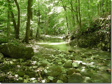 We couldn’t decide if we should set up camp there for the day and have a long Sunday hike or keep going. We had read about a camping spot 8 miles in, but nobody wanted to go 8 miles, and we thought maybe there would be another suitable site along the way. With so much rain, water wasn’t really a problem, but sometimes it can be hard to find level ground.
With all of the indecision, we decided it must be time to have lunch. After some tuna salad (ready to go from a foil packet … awesome) and crackers and some exploring, we decided to hike a bit further to even out the mileage for each day.
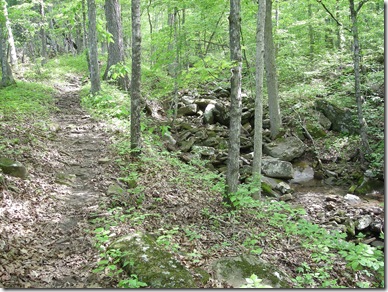
This part of the trail skirts along a bluff line and is fairly level walking. There are a few stream crossings and lots of waterfalls down in the hollows below. The sound of the breeze in the trees above and the crashing water on the rocks below was peaceful, but every once in a while sounds of the motorcycles on Highway 43 could be heard echoing off of the walls of the valley.
After a few miles, I couldn’t go any further and plopped down in the middle of the trail announcing it was break time. We hadn’t seen a good place to camp, and I was becoming concerned as it was getting close to 5 and my tummy was growling. Knowing my propensity to stop just before a good spot, Stuart set down his pack and said he was going around the corner to see what was there.
About 2 minutes later, he yelled at me, and I dutifully dragged myself around the corner to a great overlook spot. We went back and grabbed the packs and took a break.
We looked around the overlook site and found a couple of fire rings where folks had camped before. We were thinking it was quittin’ time and were both pretty excited about it.
Checking out the first spot though, there wasn’t really a good place to put the tent. It was too muddy. We headed a bit farther back and found another ring, along with a big critter hole of some sort. It looked more promising, but then we noticed about a dozen ticks crawling on us both. Upon further inspection, there appeared to be a healthy crop of poison ivy covering the ground. After much debate and indecision, we made the decision to carry on, even though it was about 5:40 by this point.
There aren’t any pictures of the next couple of miles because I was too busy working up to a hissy fit a two-year-old would be proud of. I was tired and hungry and the terrain was looking worse and worse for camping. No level spots, no water, nothing.
I started to panic and envisioned us trying to tromp through the woods with our headlamps while snakes and raccoons would creep closer and closer. I was moving at a pretty good clip and finally stopped to figure out where Stuart was. He finally came around the corner and announced that his new boots had given him a blister.
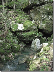 At mile 7.8, we came to the field next to Pearly Spring. The sign said no camping, as the spring is on private property, but we collapsed on the ground to regroup and plan our next move. At least we finally had some water.
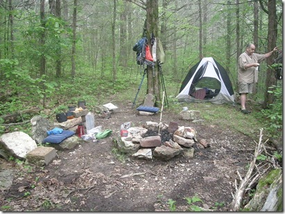
Looking around, we started seeing evidence of elk using the area, maybe to drink from the spring. After about 15 minutes, we walked up the trail a bit and found a campsite. Home at last! And still daylight.
We did a quick camp setup and wolfed down some ramen noodles, then turned in to fall asleep to the call of a whip-poor-will under the tiny sliver of the moon.
The next morning, we were up early to a foggy morning. I discovered my air mattress had sprung a leak in the night, which explained why I just couldn’t get comfortable, there really was a rock in the middle of my back.
Because we had gone so far the day before (a new record for us), day 2 was a short hike of about 3.5 miles.
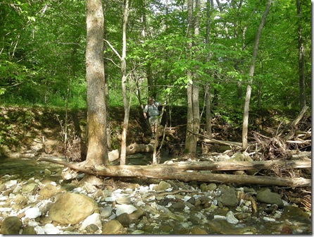
Less than half a mile from our campsite, we came to Running Creek. At the spot where the trail crosses the creek, it looked like it was about waist-high. I decided to go down river and pick my way across a fallen tree and some stepping-stones.
Stuart followed, but balancing on a tree with a 30-pound pack isn’t the easiest thing in the world.
After a few tense moments, he leaped to the rocks in the middle of the creek, and we were on our way.
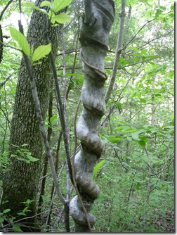 The trail climbs up out of the Running Creek drainage and heads through some broken limestone bluffs along the way. We took time out for a few minutes to evaluate the blister situation and catch our breath. There was a neat-looking tree that had grown around a vine.
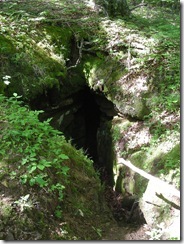 The trail started to head down hill, and we knew we were getting close to the end. We had our copy of Tim Ernst’s Buffalo River Hiking Trails which has some pretty great descriptions of the items of interest along with mileages and elevation charts. When I spotted the sinkhole, I knew we were less than a mile from the end of the trail.
If you hike in Arkansas, Tim Ernst is a great resource, and his books help support trails in Arkansas. Take some time to visit his website at timernst.com.
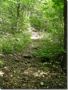
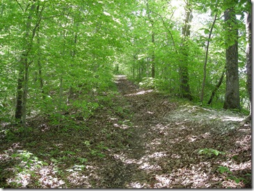 The trail seriously starts to head downhill at this point, and the road trace suffered a bit from the rain. It’s pretty rocky and steep; then all of a sudden, you are at the Ponca low water bridge. It was pretty busy with canoe people. We sat down to plan our next move.
Our car was at the Buffalo Outdoor Center, which is just a short half-mile hike up the highway, but after 11.1 miles in two days, that last half mile seemed like a long stretch on hot pavement up a big hill.
Stuart spotted a BOC shuttle driver who was going to Kyle’s Landing, but he graciously offered to give us a ride back to our car. We were pretty darn excited and jumped in his SUV and headed up the highway. We were in the car and headed back to air conditioning by noon.
VITAL INFO | |
|---|---|
| Trail Name and Location | Buffalo River Trail Boxley to Ponca, Boxley, AR |
| County, State | Newton County, Arkansas |
| Date Hiked | 2011-05-07 - 2011-05-08 |
| Weather/Conditions | 70's and sunny |
| Directions | Boxley Trailhead, Boxley, AR to Ponca Trailhead, Ponca, AR (point-to-point). |
| Hike Length/Type | 11.1 miles |
| Other Permitted Usage | none |
| Difficulty (1=Easy; 5=Most Difficult) | 3 |
| ATT Cell Coverage? | No |
| Official Info - Phone/Links | (870) 439-2502 Website. |
[This post was originally published on May 8, 2011 on “A Hiking We Will Go.”]
[Last revised: 2011-09-03


One reply on “Buffalo River Trail: Boxley to Ponca”
grate journal enjoyed the read.
Dan