[This post was originally published on March 15, 2011 on “A Hiking We Will Go.”]
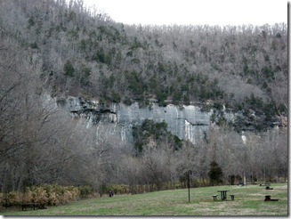 The Buffalo River Trail (BRT) in the Buffalo National River is a 36.5-mile trail that goes from Boxley to Pruitt. The Buffalo National River was established as a National Park in 1972 and is administered by the National Park Service.
We decided to hike the BRT from Ponca to Kyles Landing, about 10 miles. Camping is allowed in the wilderness, so we broke the hike up and camped one night in the back-country. Dogs are not allowed on the trails, so Buster and Katie had to sit this one out.
We drove up on a Friday afternoon and camped the first night in the Steel Creek campground. Initially, we were going to stay at Lost Valley, but the campsites were so close together and the bathrooms were locked. We decided to check out Steel Creek.
Getting down to the Steel Creek required traveling down a steep gravel road, but at the bottom we were awed by the sight of the bluffs along the river. The campsites were more open and widely spaced. Although the campground was still winterized, there were vault bathrooms and water spigots available.
The park caretaker, Jeff, stopped by and told us there was no longer a phone at the site, but he was in a cabin at the end of the road if there were any problems. 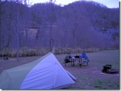 There was definitely no cell phone signal.
The campground was a little busy, with the start of spring break. It was not quite the escape to nature I had envisioned, but it wasn’t too bad.
We set up our campsite and had some hot chocolate while the sun went down and planned out our next steps. We tucked into our sleeping bags and listened to the revelry of the campers (and the late arrivals … I’m glad we were not having to set up our tent in the dark!).
The first night it was COLD. I mean … really cold.
When we woke up the next morning, there was frost on the tent. I was not a happy camper.
We decided to hike from Ponca to Kyles Landing. We started at the Buffalo Outdoor  Center and had them shuttle our car to Kyles Landing. We walked to the trailhead along the highway for about a quarter of a mile.
At the beginning of the trail, there is an old homestead, but we elected to plunge forward on the hike. It is a good thing we did, as this hike was a little more strenuous than we thought.The weather was absolutely beautiful,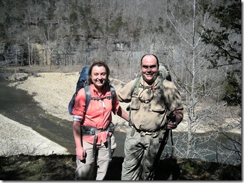 and there we met a couple of people out enjoying the day.
The first part of the trail was fairly easy. We crossed over the river at the Ponca low-water bridge and hiked up along a bluff line. There were several nice overlooks of the river and interesting rock formations.
It wasn’t long before we were hot, and I was regretting all of the extra layers of clothes I had put on in response to my chilly night. We met a nice couple on the trail from Fayetteville who took one of the few existing pictures of Stuart and I together.
The trail started to climb a bit more, and we were getting our first clue that this would be more of a hike than we were used to. There aren’t very many pictures of the ascent because I was just trying to make it to the top of the next hill. Every time I would comment “well, we have to be close to the top,” it seemed like we would turn the corner and there would be another mountain. (For those who actually live next to mountains, this is an exaggeration, but for an Oklahoma girl, these are mountains.)
We took a break next to a small stream so I could shed some layers and catch my breath before we tackled another challenging hillside. I was beginning to understand why doggies could not hike the trails, and I was glad I did not have the 45-pound Buster dragging me around.
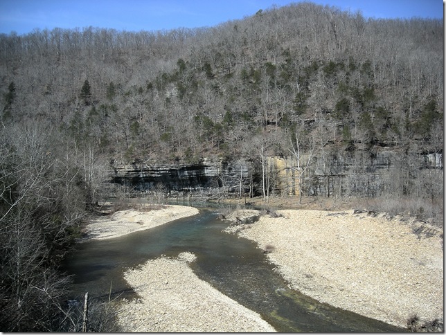
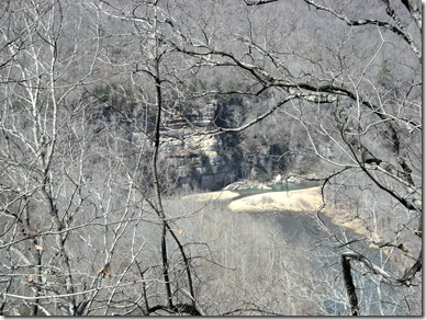 About two miles in, we came to the bluffs at Steel creek. So after four hours, we were almost back to where we started from in the morning. Since it’s not quite springtime, the views of the creek and the bluffs were great.
Along the way we ran into a couple hiking the opposite way. The gentleman was familiar with the area, and when we told him of our plan to hike to Kyles Landing, he warned us of the hike out of Steel Creek. It is definitely a steep one!
The trail follows along the Steel Creek campgrounds and the view of the campgrounds is great. After passing the campground, it heads down to Steel Creek, and we had our first stream crossing. Although it is a little early in the year, my feet were so hot, I was ready to put on my creek shoes and get my toes wet. It was pure heaven!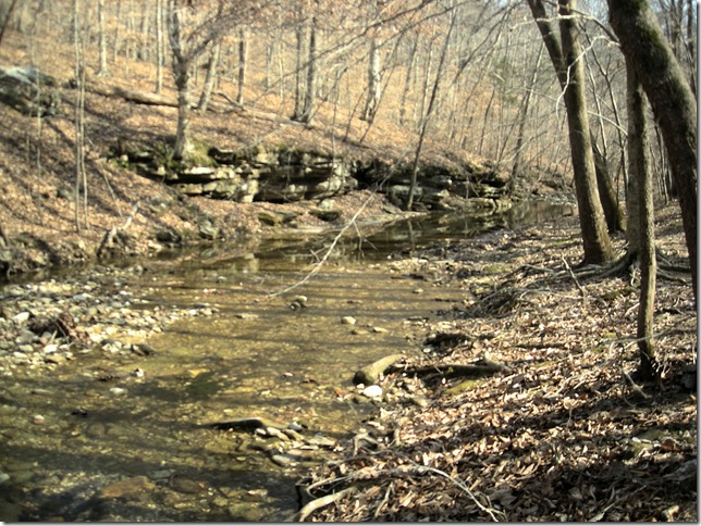
Steel Creek forms the southwest boundary of the Ponca Wilderness area, which is where the rest of the trail goes through. It also marks the beginning of the steep climb up to the overlook.
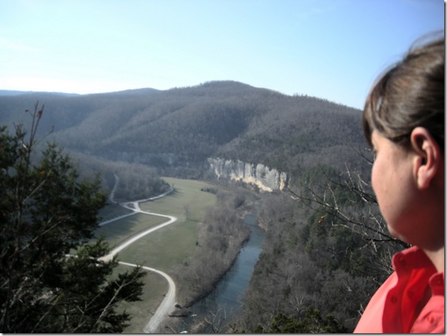
We hiked straight up for about two hours. Just when I was convinced I could not take another step, we were rewarded with a great view of the river, the Steel Creek Valley, and the bluffs. It was a great place to stop for a while and enjoy the view.
From this spot, the trail heads up some more … believe it or not. It was starting to get late in the afternoon, and we felt far away from level campground and water. The focus shifted to figuring out where we were going to stay the night.
Finally at about 4 o’clock, we passed a level spot that looked like it would make a good campsite, but there was no water anywhere around. 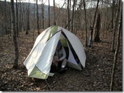 We kept going, and fortunately we found a small stream about a quarter-mile downhill. We filled up our water bottles (filtering the water, of course), backtracked up the hill to the campsite and set up camp.
I was exhausted and hungry. Before it was completely dark, Stuart had made the best shells and cheese in the history of the universe. I wolfed down the grub and went straight to sleep.
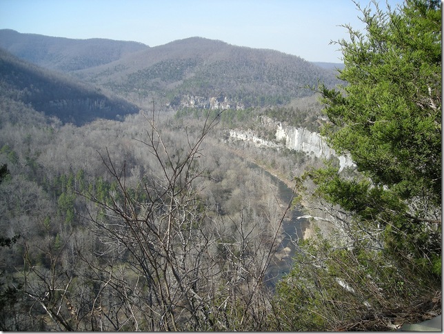
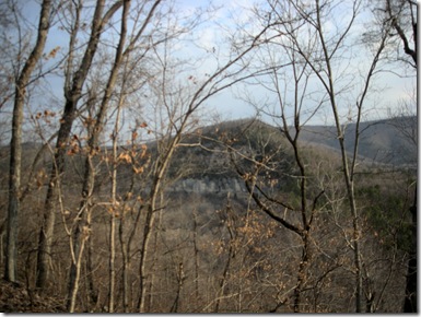 The next morning, we got an early start and took a few pictures of the view from our campsite. The bluffs along the river were visible, and the terrain we still had to cover was humbling. It was at this point that I started thinking another night in the woods might be on the horizon.
With another five miles to go before Kyles Landing, we started down the trail at a good clip. It was a wonderful morning, with bright sunshine and a nice breeze.
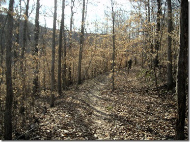 The beech trees in the area do not lose their leaves in the fall. I thought they were particularly pretty this morning.
I was moving at a slower pace than Stuart and trying to take more pictures to share. This was one of my favorite spots on the trail. The breeze made the leaves flutter, and the sunlight bouncing off of the golden trees was awesome. It’s hard to capture it in the picture, but I gave it my best shot.
We were definitely in the wilderness now. The trail was level for a while, then headed 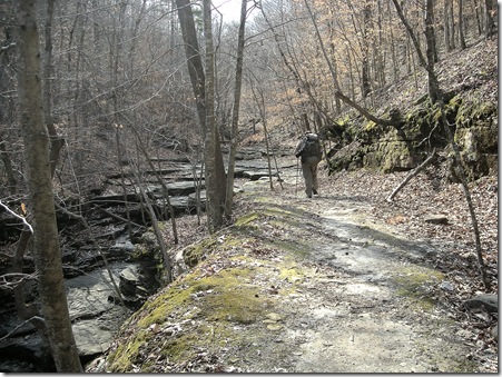 downhill to Beech Creek. The water wasn’t very high, so we found a nice spot to sit and take a break because we had another climb ahead of us.
At this point, Stuart wanted to know if I felt a sense of accomplishment in getting this far. I told him very frankly, that we had accomplished getting to the middle of nowhere. When we actually made it back to the car, I would feel a sense of accomplishment. I was not sure that was actually going to happen because the thought of climbing up another 750 feet straight uphill was daunting.
I felt much better after our break though. We pushed on!
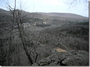 Originally, we had planned to take a side trail to Hemmed-in-Hollow to see the waterfall, but we both agreed that we should save that climb for another time. We left the creek and climbed the next trail, and we could actually almost see our destination ahead.
This time, we were more mentally prepared for both the climb up and the climb back down, so it was not as bad (at least for me, but I did not have the 40-pound backpack).
We met up with two other couples starting out their day, and I was relieved because it meant we were nearing civilization again. I began to believe we really would survive this hike alive.
It was at this point I started to feel more of a sense of accomplishment, and a sense of pity for the poor girl messing with her backpack. I hope she knew what she was getting into!
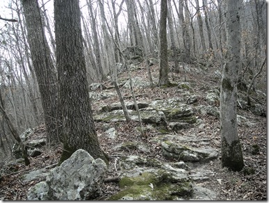 I stopped long enough to get one more picture of the terrain we were traveling down. For me, I think going down was much worse than going up. I felt like I was careening wildly down the hillside and at any point I would just begin to roll all the way to the bottom.
When we took a wrong turn on the trail, I took the opportunity to stop and take a break. At this point, we were about an hour from reaching the wonderful car with its change of clothes, its padded seats, and civilization!
At the end of each one of these trips, we try to establish what we learned. On this one, we learned how to read a topography map. On the two-dimensional map, that mile and a half doesn’t seem so bad, but all of those little lines close together on the map mean one steep climb, and it will take longer than you think.
I was also very glad to have brought my knee brace with me and glad I had Stuart to carry the heavy load and provide much-needed moral support and encouragement.
There are some more pretty days coming up, so another trek is on the horizon!
[Last revised: 2013-02-23]

One reply on “Buffalo River Trail: Ponca to Kyles Landing”
Thanks for sharing. I hope to hike this one day myself. Steel Creek is very beautiful. I had the opportunity to hike up from Kyle’s Landing past Indian Creek and up that steep hillside on a short day hike (we turned around after awhile). Steep stuff!