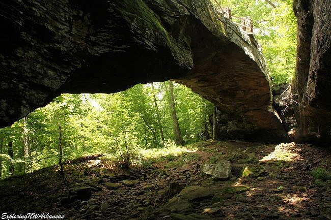
The Alum Cove Natural Bridge Trail (near Deer, Newton County, Arkansas, Ozark National Forest) is a relatively short 1.2-mile hike that provides a lot of great features including a couple of waterfalls, a cave, a small stream, and the highlight, the Alum Cove Natural Bridge.
This is a family-friendly destination with a lot of bang for your hiking effort.
I first hiked Alum Cove several years ago, and the area was not in great condition due to some winter storm damage at the time.
At our recent visit in May 2016, it was in much better condition.
Getting There
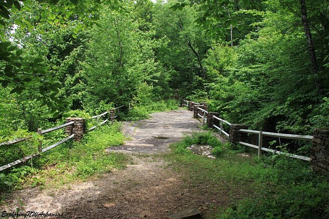
To get there from Jasper, take Highway 7 and head south. Take Highway 7 South out of Jasper for 15 miles. Then turn right (west) onto Hwy 16 toward Deer. (There is a faded sign for Alum Cove at the intersection).
After roughly 1 mile on Hwy 16, turn right onto County Road 28. (there is a sign here also) and travel 3 miles until you see a large sign for the Alum Cove Natural Bridge Area. Turn right at this sign. It is 3 miles to the recreation area. There is a large parking area there, several picnic spots, a large picnic shelter, and a pit toilet.
The Hike
The semi-loop trail is just 1.2 miles, but there is a lot to see. Hikers should plan to spend a little time enjoying the area.
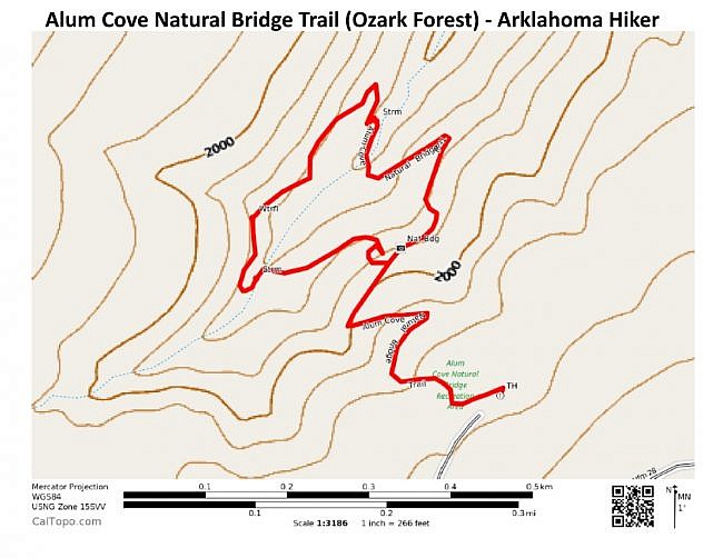
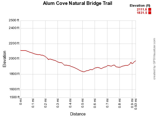
The initial spur of the trail starts off behind the lower picnic area and heads down the hill. (The elevation change on the trail is about 300 feet.)
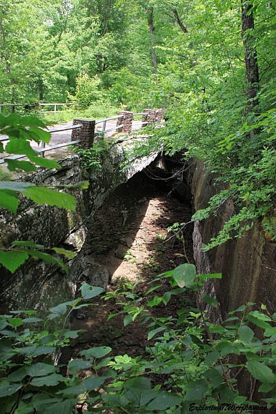
The trail makes a couple of switchbacks until it reaches the bottom of the hill and ends up directly at the top of the Natural Bridge.
The bridge is huge. It is one of the larger natural bridges in the area measuring in at 130 feet long and 25 feet wide. Rails have been added to the top to make it safer to walk across the bridge.
While the Natural Bridge is the highlight of the trail, there are other great things to see in the area.
At this point, the trail is at the loop part of the semi-loop. You can take a left just before the bridge or continue straight after crossing over the bridge.
We decided to go left before the start of the bridge and follow the loop clockwise.
The trail rapidly drops down to the bottom of the hill. Take a left here to continue on the loop, or you can turn right to view the bottom of the Natural Bridge. (My favorite views of the Natural Bridge are from the bottom.)
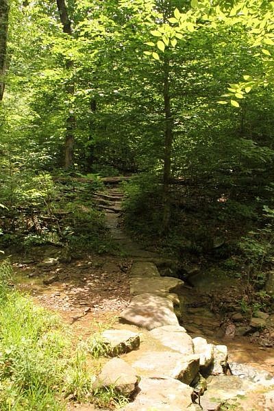
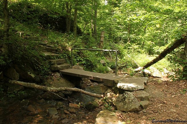
After viewing the bottom of the bridge, we went left to take the loop clockwise. The trail soon came upon a crossing over a small stream. With the recent rains, there was a fair amount of water flowing in this little stream.
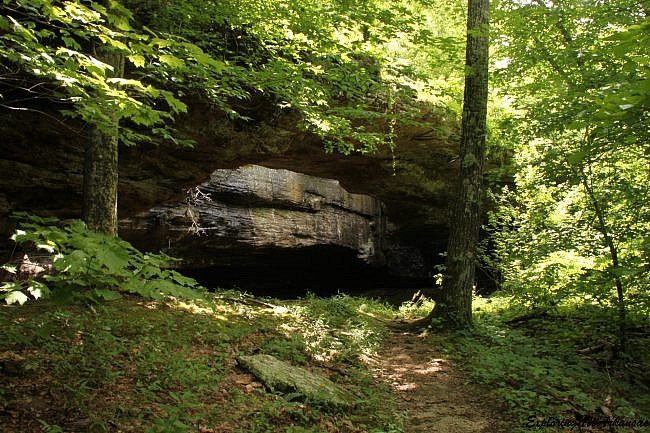
The trail then goes back up the hill toward the bluff line at the back of the trail. Once the trail hits the bluff line, there is a large opening in the rock that forms a nice cave. The cave is tall (about 16 feet or so), and there is a separate, smaller opening that you can exit from. This is a great area to explore.
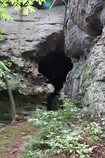
From the cave, the trail turns right and follows along the bottom of the bluff. This is a really beautiful area.
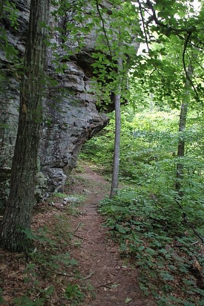
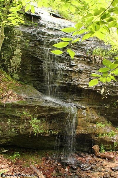
After a few hundred yards, during wet weather season, there is a nice little waterfall that tumbles over the edge of the bluff.
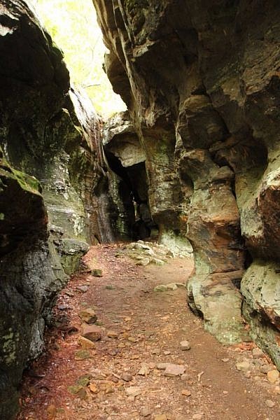
The trail continues to a crack in the bluff line that creates several cave-like areas where hikers can go in and out of the different bluff lines making for a really cool section of the trail.
From here, the trail turns away from the bluff and heads back toward the Natural Bridge. It goes down the hill and crosses the stream again via a small bridge. It then heads back up the hill toward the Natural Bridge to complete the loop.
After crossing over the top of the bridge, you are back on the initial spur to return back to the parking area.
The uphill climb to the picnic area is the toughest elevation change in the trail, but is not too bad. There are a couple of benches where hikers can stop and rest and enjoy the serenity of the area.
The Alum Cove Trail is a relatively popular trail, but even over a holiday weekend we only came across a few people on the trail, so it makes for a nice area that offers a feel of seclusion without being truly in a remote area. We really liked the trail and will be back.
Final Notes
The entire semi-loop is 1.2 miles.
I consider the trail to be mildly challenging (2 out of 5).
As for footwear, trail shoes would be fine.
Tim Ernst profiles this trail in Arkansas Hiking Trails, Buffalo River Hiking Trails, and other guides.
These photos are from our recent hike on May 29, 2016.
Photo Gallery
Click below for full-screen photo gallery.
Map
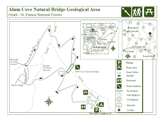
Alum Cove Natural Bridge Trail (Ozark Forest) | |
|---|---|
| Location | Alum Cove Natural Bridge Geologic Area, Ozark National Forest, Newton County, Arkansas |
| Hike Length/Type | 1.2 miles/semi-loop |
| Difficulty | Mildly challenging (2 of 5) |
| Gpx file (by Mike) | Link |
| Date Hiked | May 29, 2016 |
| Directions | Google Maps Directions to Alum Cove Natural Bridge Geolologic Area |
| Official Info | (479) 754-2864 Website USFS Trail Map (pdf) |
[A version of this post was originally published on June 13, 2016 in the blog “Exploring Northwest Arkansas.”]
[Last revised: 12-1-2019]


3 replies on “Alum Cove Natural Bridge Trail (Ozark Forest) – 1 mi”
My Senior Class is wanting to come hike at your park. I need to know is there a charge at Alum Cove Natural Bridge Trail?
Hi. I don’t believe there is a charge for this trail but you can check with the Ozark National Forest office to be sure. Their office information is at this page — https://www.fs.usda.gov/detail/osfnf/about-forest/districts/?cid=stelprdb5212247
Definitely not a fee. There is a nice picnic area near the trailhead as well.