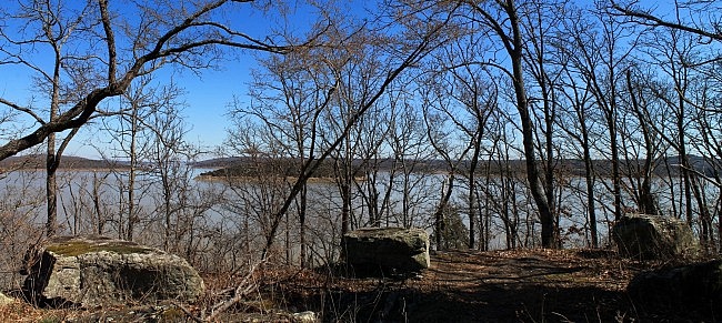
Overlook Nature Trail at Lake Tenkiller (Sequoyah County, Oklahoma) is a pleasant 1.1-mile wooded hike along the south end of Lake Tenkiller. It’s a scenic walk and during leaf-off has quite a few views of the lake.
The total out-and-back hike is 2.2 miles.
Getting to Overlook Park
Overlook Park is a Corps of Engineers day use area, less than a mile to the west of the Tenkiller Ferry Dam and about 1.5 miles from Tenkiller State Park.
If you’re coming from the east on I-40, take Highway 82 north through Vian for about 9 miles. Then turn left and head west on Highway 10A for about 5 miles. The park will be on your right, less than a mile after you cross the dam.
If you’re coming from the west, get on Highway 100 around Webbers Falls. Stay on it for about 10 miles heading through Webbers Falls and Gore. Stay on Highway 100 when it makes a sharp right toward the dam. After about .9 miles, Overlook Park will be on your left.
The Hike
Overlook Park has picnic tables, a pavilion, and some really nice views of the lake.
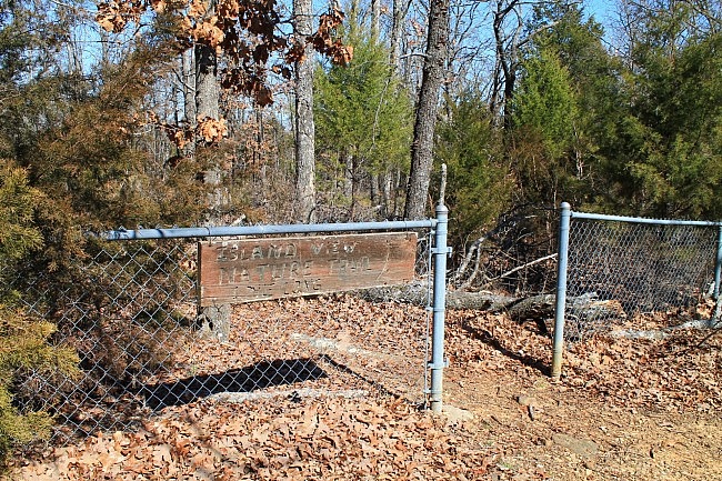
The trailhead is at the north end of the park next to a fence. The sign says “Island View Nature Trail,” but it is mostly commonly called “Overlook Nature Trail.”
It appears that originally the trail went all the way to Strayhorn Landing, but at some point the north part of the trail went into disuse and now is not really useable as a trail. So the trail now ends at an off-road parking area on Highway 10A, across from the United Methodist Boys Ranch.
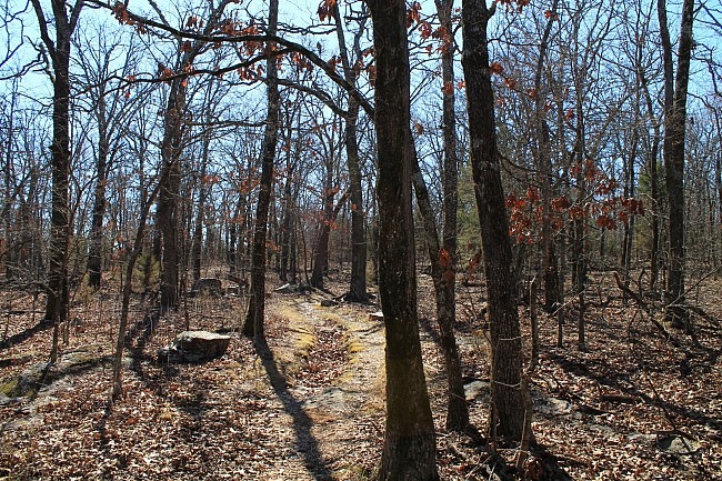
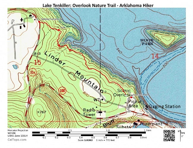
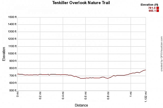
The first .8 miles, the trail heads pretty much straight to the northwest on the north side of Linder Mountain. It stays pretty level through this area and does a bit of winding in and out while staying a couple hundred feet to the west of the lake.
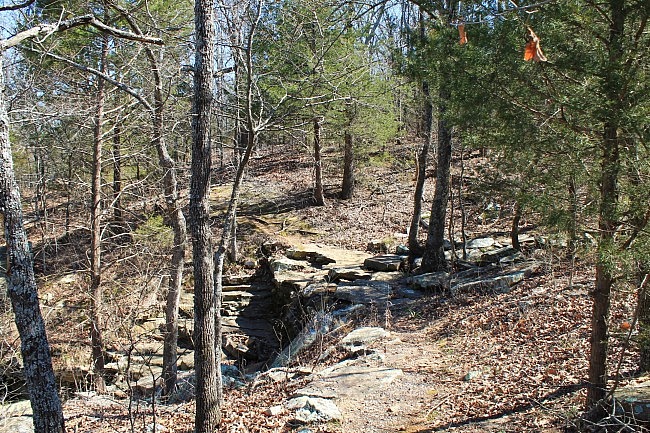
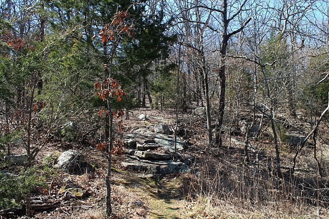
Although it’s not a rocky trail, there are a number of interesting rocks (and some boulders) along the trail. There are also several scenic small seasonal stream crossings along the trail.
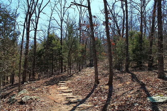
There are no blazes, but they aren’t really needed. This is a well-traveled trail that is easy to follow. By and large, the trail was in very good condition.
During leaf-off, there are a number of pretty views of the lake through the trees. During leaf-on, it’s pretty much glimpses of the lake. There is a nice overlook on the right at around .3 miles.
What I think is the most scenic part of the trail is around .8 miles. The trail makes a sharp left turn into a large seasonal stream valley. The trail crosses over a footbridge here. There is also a lake inlet in this area.
Shortly after the footbridge, there is a fork in the trail. Turn left here to continue on the trail.
For the last .1 miles, the trail makes an uphill climb to end at Highway 10A, across from the Methodist boys ranch. I think uphill areas like this are cool.
Here you turn around and head back to Overlook Park.
Final Notes
The net elevation change on the hike is about 120 feet. Almost all of the elevation increase is at the north end of the trail.
I had AT&T cell signal about 80% of the time.
These photos are all from my February 27, 2016 hike.
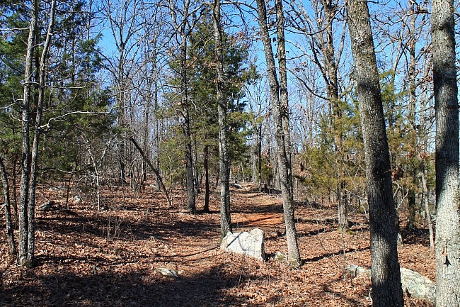
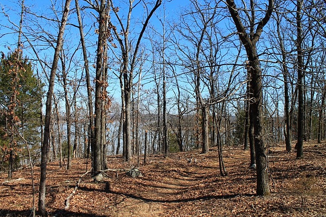
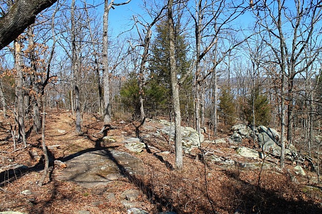
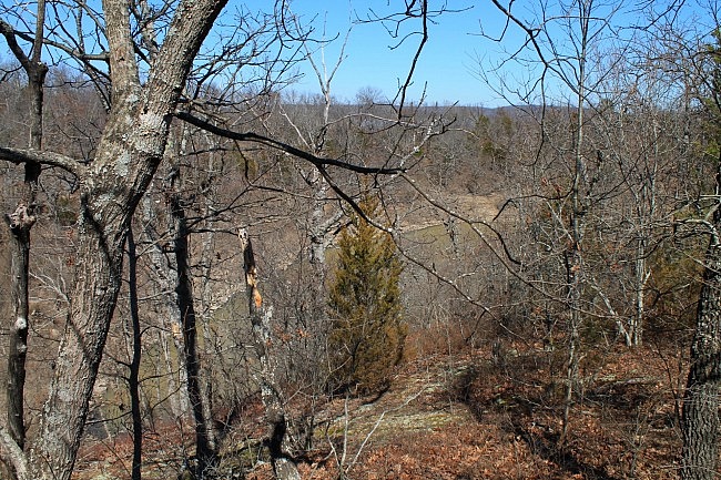
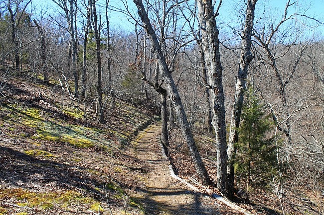
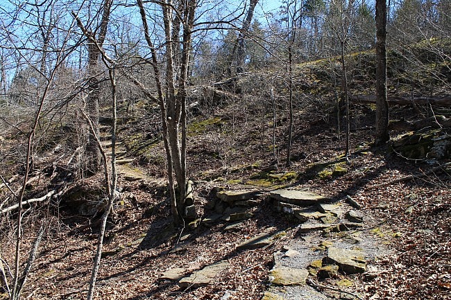
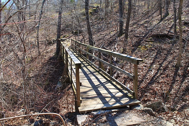
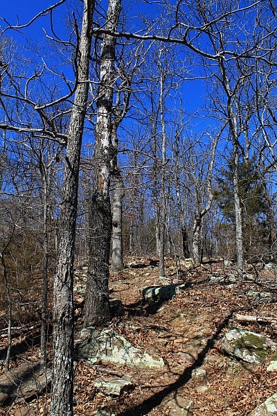
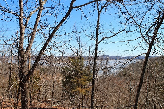
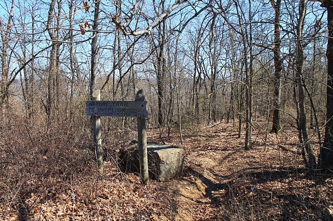
Photo Gallery
Map
Lake Fort Tenkiller: Overlook Nature Trail | |
|---|---|
| Location | Sequoyah County, Oklahoma |
| Hike Length/Type | 2.2 miles out and back (1.1 mile each way) |
| Difficulty | Mildly challenging (2 of 5) |
| Other Permitted Usage | Pets on a leash. |
| Gpx file by Mike | Link |
| Date Hiked | February 27, 2016 (and earlier) |
| Directions | Google Maps Directions to Trailhead (Overlook Park) |
| Official Info | 918-487-5252 (Tenkiller Lake Project Office, U.S. Corps of Engineers) Corps Website Lake Tenkiller Area Association Website OWRB Map of Lake Tenkiller (jpg) |
[Last revised: 3-15-2020.]


