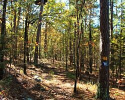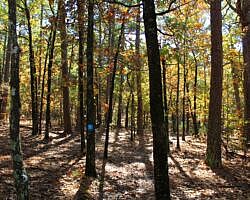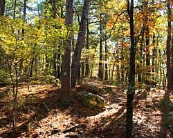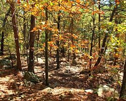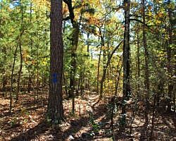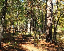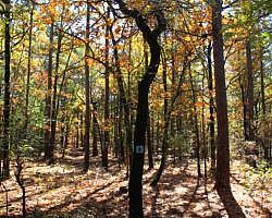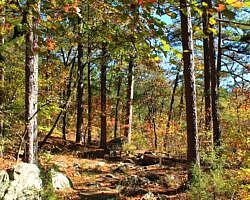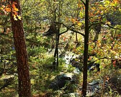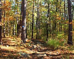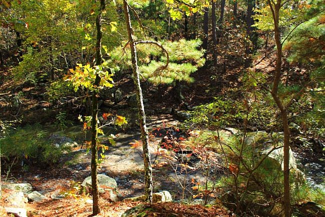
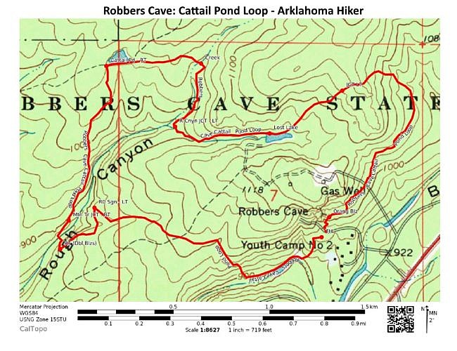
The Rough Canyon Trail at Robbers Cave Park (Latimer County, OK, near Wilburton) is a very enjoyable scenic 3-mile loop. A variation on this hike I enjoy is to take north part of the Cattail Pond Trail bypassing part of the Rough Canyon Trail and making a 3.9-mile loop.
This hike is the combined Cattail Pond/Rough Canyon Trail Loop. 80% is the Rough Canyon Trail, but for most of the Rough Canyon stream area the hike goes north of the creek instead of along the south side of it.
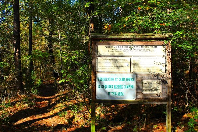
Getting to the Rough Canyon Trailhead
We start at the trailhead for Rough Canyon Trail.
Wilburton is on Highway 270, about 40 miles west of Poteau. From Wilburton, take Highway 2 north about 6 miles to the park. Go in the park’s main entrance on the left.
The trail starts at the cave area. Follow the signs in the park for Robbers Cave. (This is the same parking lot as the Robbers Cave Nature Trail.) You will be going north on Robbers Cave Road for about 1.5 miles and then taking a left.
The trailhead is at the lower part of the parking lot, to the left of the Robbers Cave Nature Trail area.
The Trail – Rough Canyon Trailhead to Cattail Pond Trail South End
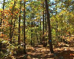
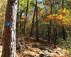
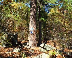
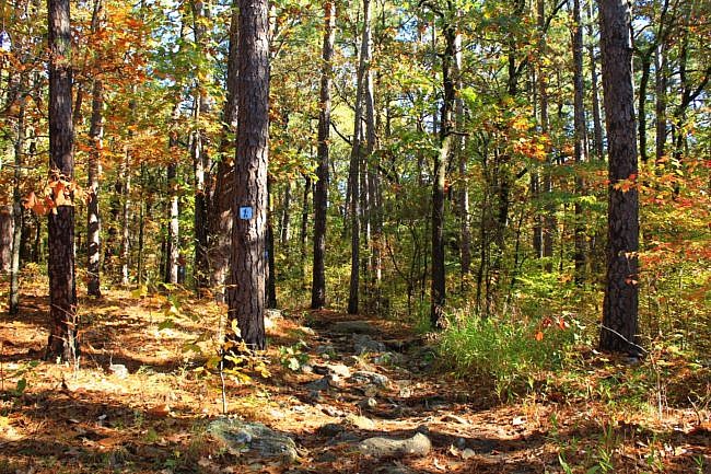
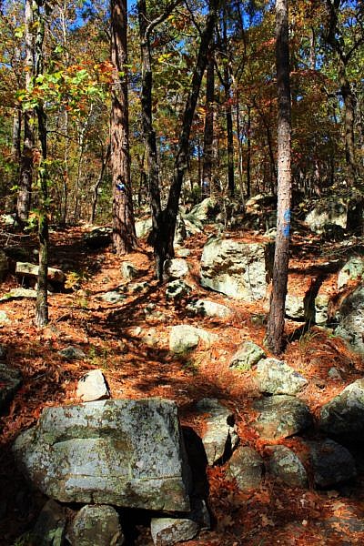
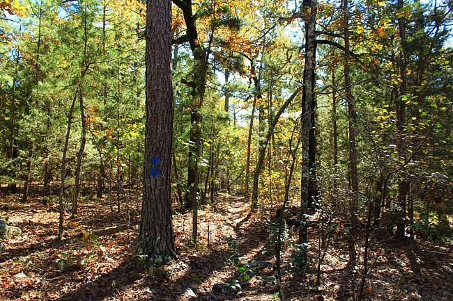
The first part of this loop is the Rough Canyon Trail (blue blazes). From the parking lot, the trail goes clockwise.
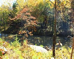
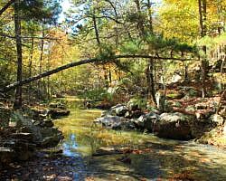
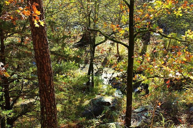
The first .1 miles is mostly a southwest descent down to Fourche Maline. This is a very scenic area when the water is flowing.
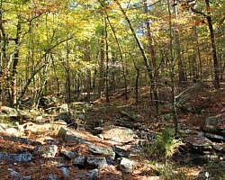
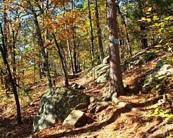
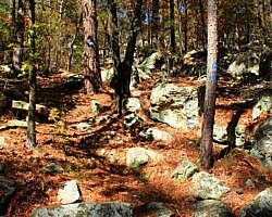
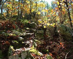
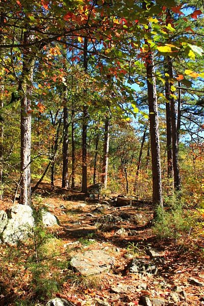
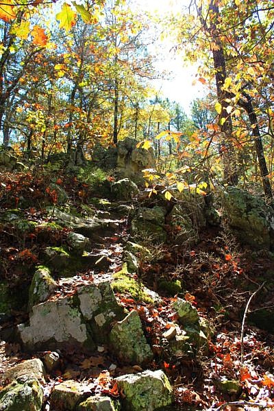
At around .3, there is a fairly steep and quite rocky uphill climb. (Lots of this trail is quite rocky!)
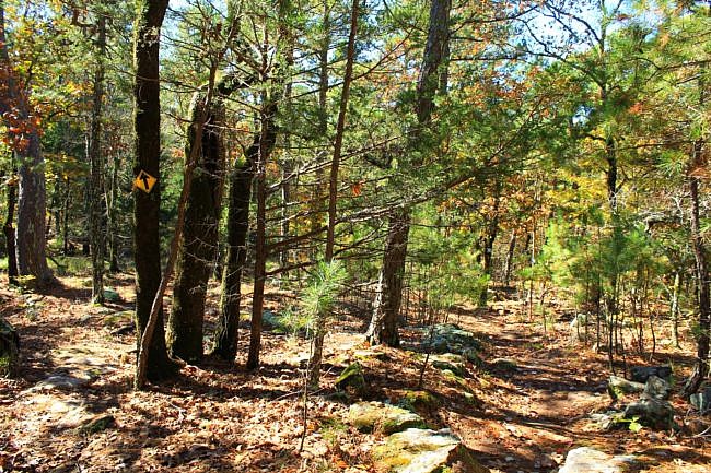
For most of the next half mile or so, the trail is less steep and less rocky. On this stretch, a horse trail (yellow blazes) overlaps with the trail.
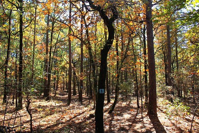
At around 1 mile, the trail reaches the junction with the Cattail Pond Trail (double blue blazes). Turn left here for the Cattail Pond Trail. When I last hiked it, there was a laminated sign marking this junction.
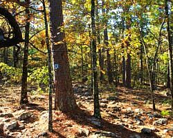
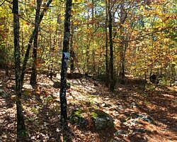
The Cattail Pond Trail used to be clearly blazed with double blue blazes. A few years ago, some of those got painted over. More recently, there have been some two-tone blue blaze signs in places to indicate the double blue blazes.
Cattail Pond Trail – South End to Northeast End
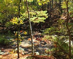
The first part of this stretch is a dirt road that overlaps with a horse trail. After a quarter-mile, the Cattail Pond Trail splits and then makes a right turn down a steep drop to the Rough Canyon stream area. Although it’s a little tricky to navigate, this is a very pretty area with some really cool large boulders.
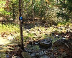
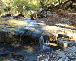
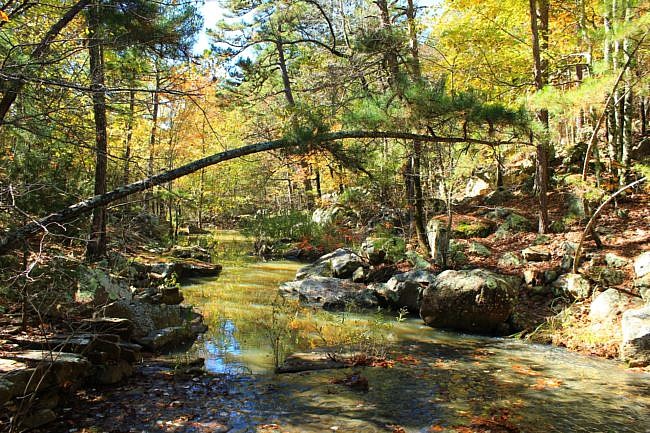
Then the trail makes a crossing across the Rough Canyon stream. This is a very pretty area especially when the water is flowing well. (Shortly after the stream crossing, there is there is a junction with the Mountain Trail which heads off to the left (northwest).) Then once over on the north side of the stream, for the next .6 miles the trail climbs uphill heading to the north and northeast. For about half this part, it follows the stream, then it heads more to the north as it approaches Cattail Pond.
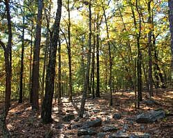
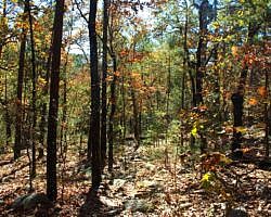
Most of this part of the Cattail Pond Trail is a scenic hillside trail. There was a little bit of overgrowth here and there, but generally it was in very good condition on my hike.
The parts of the hike that are near the Rough Canyon stream are quite pleasant when it is flowing.
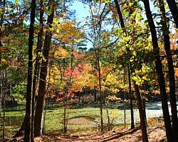
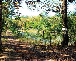
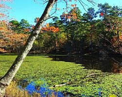
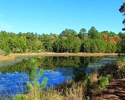
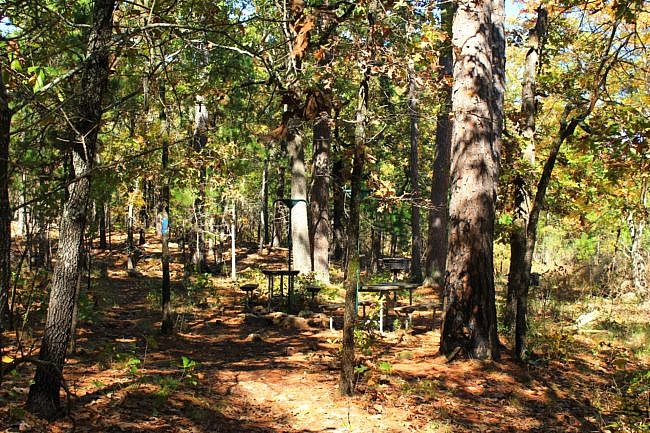
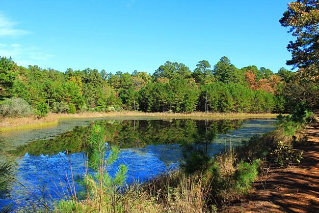
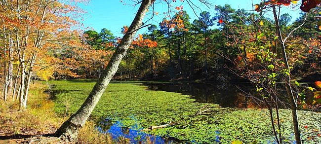
Cattail Pond, where the trail makes a sharp right turn (to the east), is a cool spot and one of the visual highlights of this hike. There is a hike-in camp area just before the lake and a picnic area on the other side.
After another quarter-mile, the trail crosses one of the upstream forks of the Rough Canyon stream. From here the trail heads south and southwest for another .3 miles until reaching the junction with the Rough Canyon Trail. When I last hiked at this area, there was a laminated sign here at this junction. Be sure to take the left turn here and follow the single blue blazes. (If you turn right, you are heading south on the Rough Canyon Trail and heading back toward where we were earlier.)
Rough Canyon Trail From Cattail Pond Northeast Junction to Cave Area
The Rough Canyon Trail here starts heading uphill. If it’s a wet time of year, shortly after heading up this part of the trail, you should see a cool rocky stream over to the right which ultimately flows into the Rough Canyon stream. (The stream bed is still pretty cool even in dry times.)
After another .3 miles, you will come upon Lost Lake on your right. This is a very scenic small lake area.
It is about 1.2 miles from here back to the parking lot. Most of this section makes a large U-curve pointing northeast. The first part is a pretty significant climb up to and over a ridge. After getting over the ridge, the trail works its way back over to the cave area.
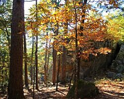
The last part of the trail is a scenic and quite hilly and rocky section as the trail approaches the Robbers Cave area from the northeast.
The trail ends at the Robbers Cave Nature Trail (orange blazes). To finish the hike, turn left (south) and head back to the parking lot.
Final Notes
When I last hiked it, the trail was in great condition except for a little bit of overgrowth on the upper part of the Cattail Pond Trail. Also it was easy to follow except for a little confusion around the Cattail Pond Trail signage.
Did I mention it’s a rocky trail? I think rocky trails are pretty and interesting with lots of character.
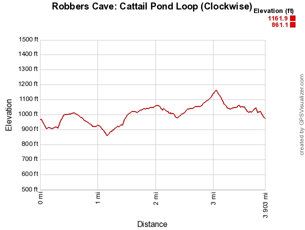
There is about a 300-foot elevation range on this hike.
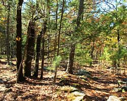
These photos are from my October 30, 2020 hike. There was some nice fall foliage that day.
I would estimate I had 75% AT&T cell signal on that hike.
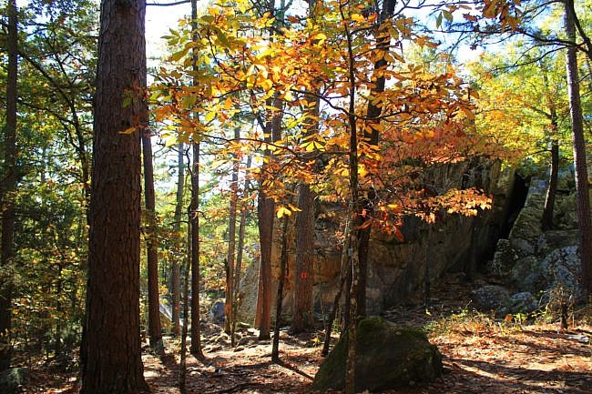
Photo Gallery
Click below for full-screen photo gallery of these and more pics I took on my October 30, 2020 hike.
Map
Robbers Cave: Cattail Pond/Rough Canyon Trail Loop | |
|---|---|
| Location | Robbers Cave State Park, near Wilburton, Latimer County, Oklahoma |
| Hike Length/Type | 3.9-mile loop |
| Difficulty | Moderate (3 of 5) |
| Other Permitted Usage | Pets on a leash. |
| Gpx file by Mike | Link |
| Date Hiked | October 30, 2020 (and earlier) |
| Directions | Google Maps Directions to Cave Parking Area (Trailhead) |
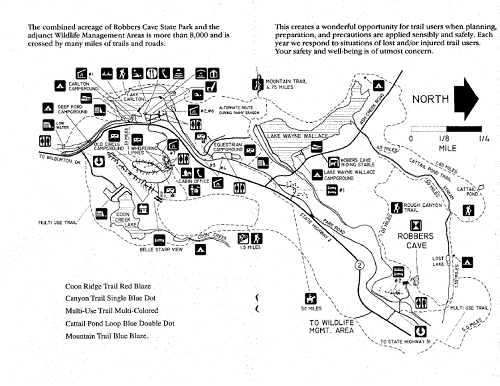
| Official Info | (918) 465-2565 Website Park Trail Map (pdf) |

