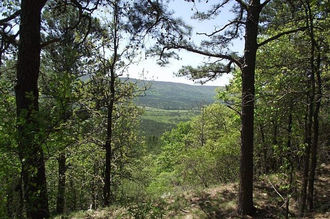
My hike yesterday on the Wilton Mountain part of the Ouachita Trail (LeFlore County, Oklahoma) was pretty exciting for me. It was the longest hike I have done (9.6 miles, out and back), and it had the most ascent (combined total of 2100 feet) I have hiked in one day.
I thought it was a very enjoyable (but demanding) hike.
I parked and started the hike at the Pashubbe Trailhead. There is a sign for the trailhead on Highway 259 about 2 miles south of the Talimena Drive (Highway 1). Just follow the forest road about 2 miles. There is parking at the trailhead.
Then I started heading east (turn right) on the Ouachita Trail. This hike covers what I refer to as subsections “02-D” and “02-E.”
The total mileage to the juncture with FR 6031 (which also has some parking) is about 4.8 miles. Hiking it both ways, as I did, comes to about 9.6 miles.
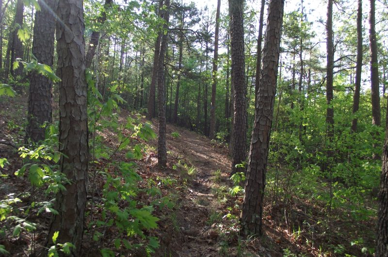
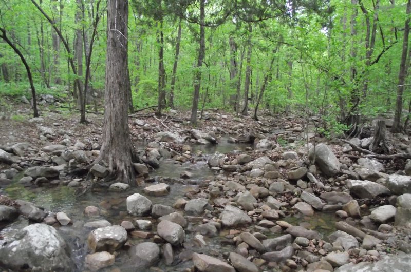
From the Pashubbe trailhead, the trail quickly enters a series of switchbacks heading down into the Pashubbe Creek valley. Pashubbe Creek has a few branches that the trail crosses. The creek was very pretty, and it was not too difficult to make a dry crossing.
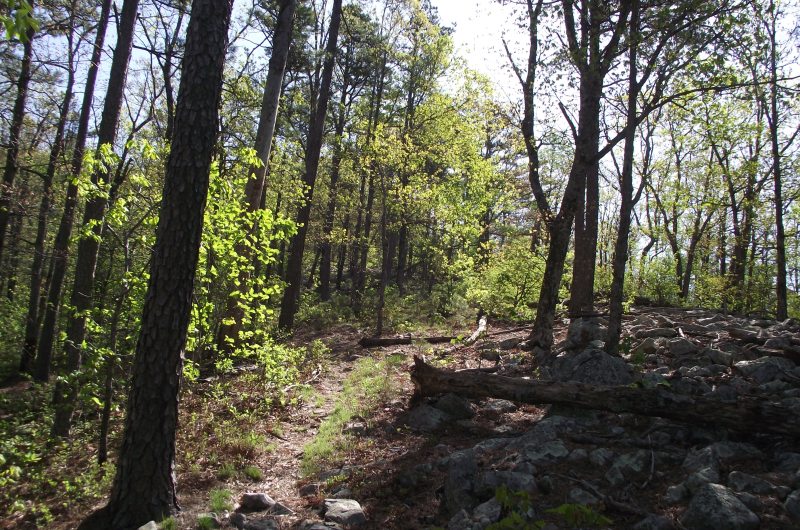
After a half mile, you start the uphill climbing. From here, there is an ascent of about 1050 feet up the west side of Wilton Mountain. The descent on the east side is about the same, making for a total ascent of about 2100 feet if you hike it out and back.
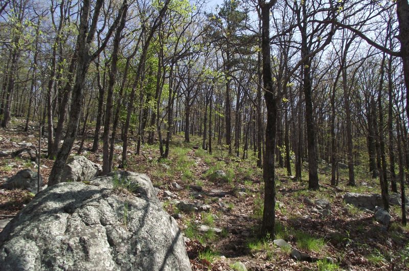
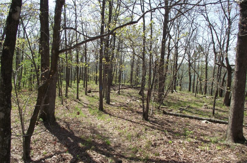
I think climbing hills is cool. The slopes and varied terrain on hills and mountains make the hike interesting.
And there is plenty steep climbing on Wilton Mountain. Both sides.
My favorite parts of the trail are at the top and the high elevation areas close to the top. There are quite a few scenic views of the surrounding mountains — especially of Rich Mountain (a very long mountain, just 2 miles to the north, that stretches into Arkansas).
There is a hiker campsite area on top of the mountain.
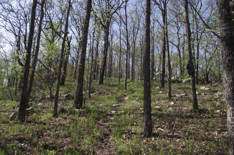
Almost all of this hike follows the southern border of the Upper Kiamichi River Wilderness. (There are plenty of signs to keep you informed of that.)
Subsection 02-E ends at a juncture with Forest Road 6031. There is some parking there as well.
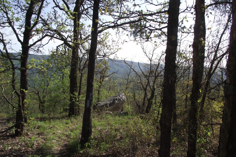
I do not run into people hiking the Ouachita Trail very often. I thought it was cool yesterday that I ran into a couple with their dog on the trail near the top of the mountain. They were hiking almost the same stretch of the trail as me, except they planned to camp overnight rather than hiking it both ways in one day.
Last revised: 4-22-2020.
