The Rush Mine Level Trail (2.8 miles as out-and-back) in the lower district of the Buffalo National River (Marion County) is an enjoyable mildly challenging hike through a former mining area.
Brent Toellner is an advertising/media strategist from Kansas City, Missouri who loves to spend time with his wife exploring northwest Arkansas, especially the Buffalo River area. Brent is also the author of the blog Exploring Northwest Arkansas.
The Rush Mine Level Trail (2.8 miles as out-and-back) in the lower district of the Buffalo National River (Marion County) is an enjoyable mildly challenging hike through a former mining area.
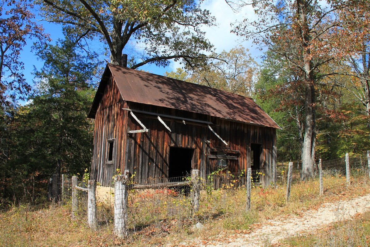
The Morning Star Interpretive Loop is an easy .2-mile loop in the Rush Historic District of the Buffalo National River Lower District (Marion County, Arkansas). It has numerous remnants of the area’s mining town history.
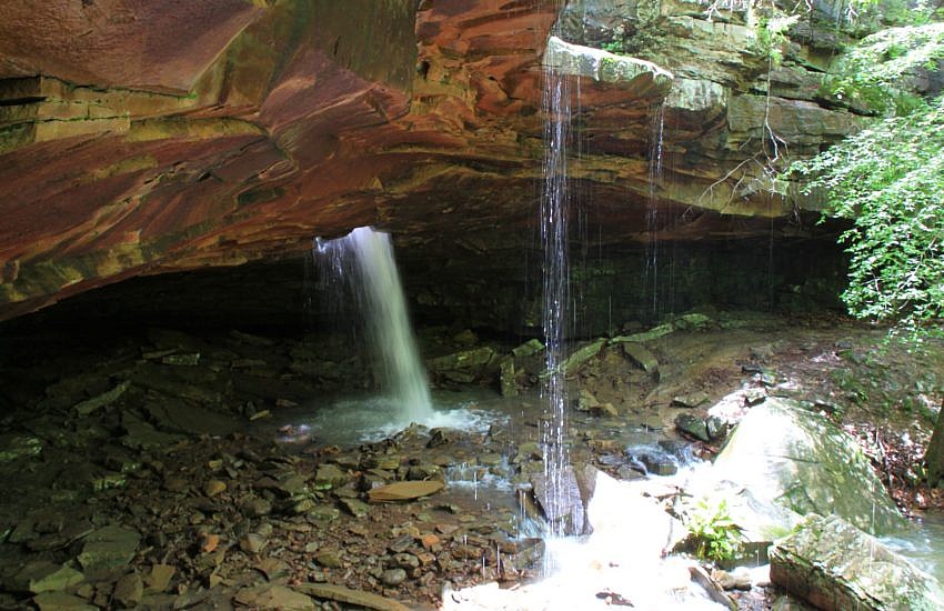
Glory Hole Falls is one of the most unique waterfalls in the Ozarks. The waterfall is formed by a stream that flows through the ceiling of an overhang cave. When the water is really flowing, the hike to this unique adds to the spectacular appeal of this short trail.
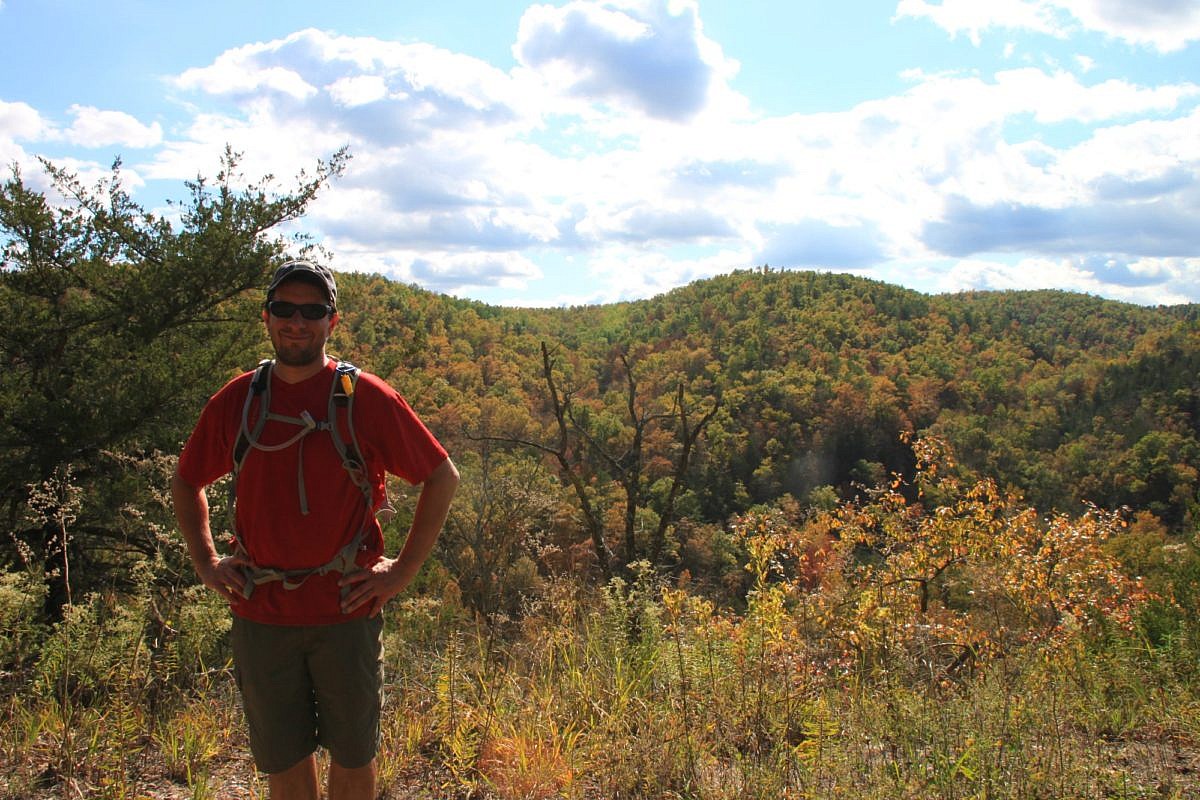
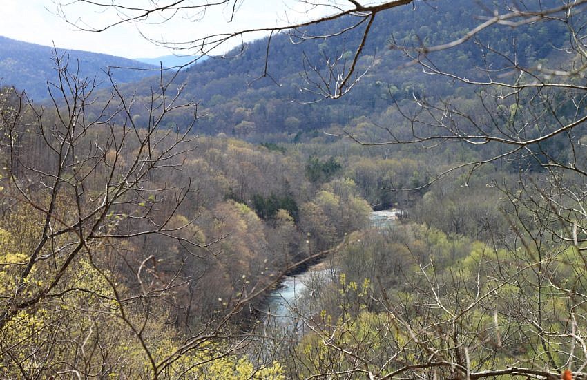
One of the interesting things about spending a lot of time in Northwest Arkansas is that we get to do some of our favorite hikes multiple times. Each season brings a different perspective on the hikes, and that makes them special in their own unique ways.
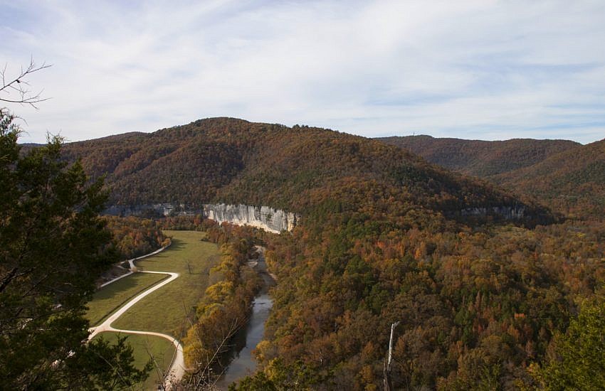
The 2.2-mile stretch of the Buffalo River Trail (BRT) from the Ponca low water bridge to Steel Creek Campground is a very scenic and enjoyable half-day hike. It is 4.4 miles as an out-and-back hike. This stretch features some nice overlook vistas with river views, seasonal waterfalls, and wonderful bluffs and rock formations.
The Buffalo River Trail (currently) is an approximately 40-mile trail running from Boxley to Pruitt along the Buffalo National River in Newton County. There are several additional sections along the middle part of the Buffalo that do not connect with these initial 40 miles on the upper Buffalo.